Navigate using View with compass and screen capture. Tap blue lines for view, blue points for famous places, yellow points for businesses, and sea markers for underwater panoramas. Switch between map and View views.
by Hideshi Otsuru★ 4.5596 ratingsNavigationFreeData updated 2026-09-09
View bus schedules and real-time updates. Search stops by name, number, or location. Set reminders for missed buses. Locate stops on a map and save favorites. Share schedules via text message.
The app displays current heading, course, speed, coordinates, and altitude. It offers street, topographic, and aerial maps, with cached maps available for a day.
Check current status of NYC Street Sweeping Alternative Parking Rules. View suspension dates and locations. Receive notifications when rules change. Find alternate parking options nearby.
Navigate using real-time 3D city views with realistic architecture and dynamic lighting. Explore landmarks and buildings with immersive street-level visualization. Rotate and tilt 3D scenes for better orientation.
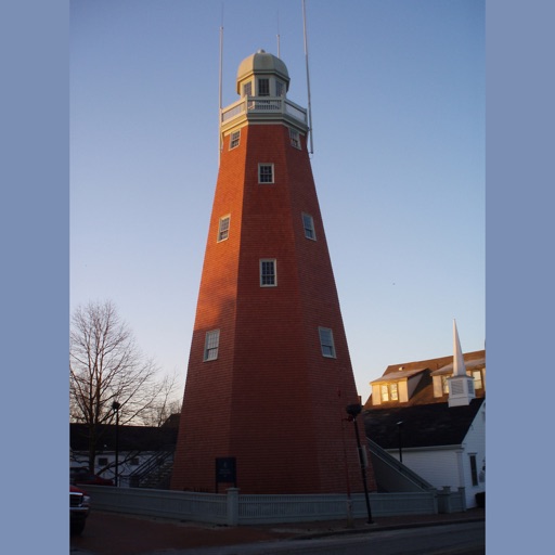
The app guides visitors through Portland with a pulsing blue dot and map flags indicating points of interest. Users can select categories to find specific locations and view details with links for more information.
The app provides worldwide marine and outdoor maps, satellite imagery, and terrain overlays. It includes local marine weather forecasts and community information for boaters.
Navigate with offline marine, lake, and outdoor maps. Access worldwide satellite and terrain overlays. View local weather forecasts. Use NOAA, USGS, and DRG data for detailed charting.
Navigate with marine and outdoor offline. Overlay satellite and terrain data on charts. Access local weather forecasts. View worldwide and satellite imagery when connected. Use NOAA raster data for detailed navigation.
The app guides users to historic sites in Wilmington, NC, using GPS maps. Users can read or listen to historical information and view pictures at each location, exploring at their own pace.