
Pro Compass
Craig Hunter
Navigate with 3D floating
Provides a 3D floating with realistic OpenGL graphics. Users can switch between nine modes, including direct read, traditional, and rosette styles. It displays degrees, quads, or mils.

Showing 161–180 of 1,000 ranked alternatives.
Craig Hunter
Navigate with 3D floating
Provides a 3D floating with realistic OpenGL graphics. Users can switch between nine modes, including direct read, traditional, and rosette styles. It displays degrees, quads, or mils.


Mapnitude Company Limited
Sun Moon Twilight Navigation Tool
The app provides real-time Sun and Moon data, including sunrise, sunset, moonrise, and moonset times globally. It features a time-chart and interactive map for accessing celestial data and exploring seasonal shifts.

Siu Yuen Ho
Record tracks into files easily.
The app records user tracks into files, logging latitude, longitude, altitude, speed, and distance. It supports multiple file formats and map services, with background logging and file sharing capabilities.

MINH DAT PRECISION MOLD CORPORATION
Track locations, edit photo metadata, delete records
Track and manage GPS locations with metadata editing capabilities. View and edit data of photos. Delete tags and view maps of recorded positions. Sync history across devices.

ZIJIAN CHEN
Convert units across 18 categories
Convert units across 18 categories including angle, area, base, digital storage, and electric potential.

CodeBurners
Set waypoints and navigate precisely
Enter coordinates to set waypoints. Navigate to locations using latitude and longitude. View maps with metric or customary units. Track direction and distance. Save and recall multiple waypoints.


Meagan Sanchez
Map and track your route
Allows users to add and view on a map or sort them by name, distance, or date. Users can zoom in or out to focus on specific points. can be plotted and compared for proximity. Errands can be mapped and organized for the day.

SHIGETO TAKAGI
Check temperature and convert units
Digital measures ambient temperature using GPS and displays it in . Shows temperature in badge format with below-zero indicators. Includes to Celsius conversion calculator with formula.




Rounded Peak Studios LLC
Track , altitude, and distance
View current in mph, km/h, knots, and other units. Display altitude above sea level. Track max and altitude during trips. Monitor distance traveled in trips. Check on Apple Watch. Pro upgrade unlocks custom colors, HUD mode, and ad removal.

Pravin Gondaliya
Tag photos with location and time
Capture photos with geotagging, date-time, and location data including latitude, longitude, altitude, weather, and compass. Add timestamp watermarks to real-time photos. Share geotagged images with others.
ESIRION AG
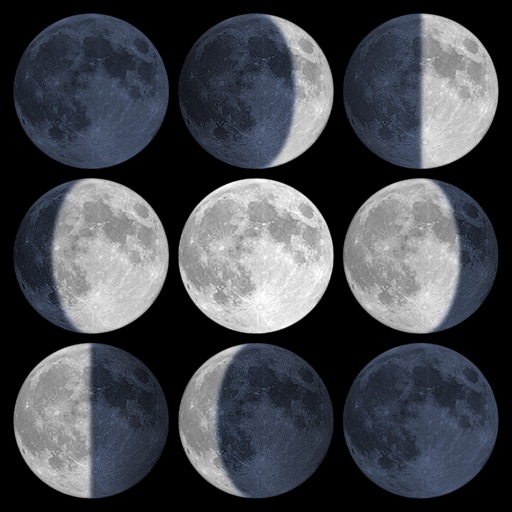
Track sunrise, sunset, and moon phases
Calculate sunrise, sunset, moonrise, and moonset times based on GPS location or selected locations. Track moon phases and twilight times. Save multiple locations and sync calendars for upcoming events. Support timezone selection and iPad Split View.

Junaid Mukadam
Track speed and monitor driving analytics
Track driving speed with real-time updates and customizable speed limits. Monitor average, maximum, and distance traveled. View detailed speed analytics and set alerts for speed violations. Sync GPS data for accurate mileage tracking.


Apps are ranked by functional similarity, category fit, rating confidence, and popularity.