Easy QR and URL Scanner
oka yamazaki
Scan URLs and open them instantly
Recognize URLs from text using AI. Open recognized URLs in a browser. Share URLs via QR code generation. Copy URLs to clipboard. Create and share QR codes for any URL.

Share location via email and messaging
Share real-time GPS location via email, text, or social media. Recipients receive a map link showing your position. Supports multiple coordinate formats including degrees, UTM, and MGRS. Compatible with Apple Maps, Google Maps, and Bing.
Showing 321–340 of 1,000 ranked alternatives.
oka yamazaki
Scan URLs and open them instantly
Recognize URLs from text using AI. Open recognized URLs in a browser. Share URLs via QR code generation. Copy URLs to clipboard. Create and share QR codes for any URL.

Ivan Perre
Find any 2D angle precisely.
The app detects the device's orientation to find any 2D angle. It measures angles in degrees, radians, or as a gradient, holding the measurement for easy reading.


Rajan Fernandez
Download , find huts, track trails
Access offline topographic of New Zealand. Download and manage to conserve storage. Locate DOC huts, campsites, and hunting areas. Search for named locations. Import GPX routes and share via AirDrop. Measure distances on .
Rocanda Technologies Inc
Convert, find, and save locations.
The app converts LSD and BC NTS coordinates. It can also determine the user's current LSD based on location and integrates with Google and Apple Maps for navigation and data viewing.


Hannes Sverrisson
Scientific functions easily accessible on screen.
The app offers scientific functions accessible by swiping between exponents, logs, and sinus functions. Users can correct entries with a backspace key, copy and paste numbers, and customize backgrounds and digits.




Michael Andreas May
Get precise GPS coordinates averaged.
The app provides precise GPS coordinates by forming an average value from multiple measurements. It reads the current position every second and filters out short jumps to improve coordinate determination.

Elen Bekzadyan
Track orientation with real-time compass data
Provides real-time device orientation based on magnetic fields. Allows switching between true and magnetic north. Displays compass direction and azimuth. Includes declination information. Offers tilt sensitivity settings.

Achim Heynen
Geocaching tools for multi mystery caches.
The app provides tools for geocaching, including coordinate manipulation, cipher decoding, and interactive data tables. It offers various coordinate conversions and map interface options.


IOOS Association
View maps and alerts in real time
View hazard zones along Oregon and Washington coasts. Check if locations like home or school are in zones. Access maps and real-time data for preparedness.
Digital Media Interactive LLC
Analyze colors and convert them precisely
Analyze colors from images or websites. Convert values between formats. Create and edit palettes. Share palettes with others. Customize interfaces for iPhone and iPad.


Viatact AB
Coordinate conversions for Sweden only.
The app converts coordinates for use in Sweden. It supports SWEREF 99 TM, RT90, and Lat/long formats.
Raffaele Amuso
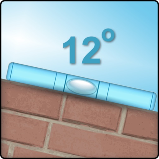
Measure tilt of an edge.
The app measures the tilt of an edge in degrees using a mobile phone or tablet. Users can align objects with this tool.
Apps are ranked by functional similarity, category fit, rating confidence, and popularity.