The app computes target parameters for the Riechert-Mundinger stereotactic apparatus using two CT or MR images or one image with direct angle input. It supports axial slices and corrects for image distortions and rotations.
by Mevis Informatica Medica Ltda.★ 0.00 ratingsMedical$9.99Data updated 2026-11-16
Run code on iOS devices using an interpreter that supports common functions for students and learners. Edit and execute scripts, view results, and access basic features without requiring advanced capabilities.
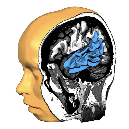
Explore anatomy with interactive 3D models. Rotate and slice through high-resolution structures. View fiber tracts from MRI data. Learn about function and structure with detailed visualizations.
The app provides a kinesthetic experience for students to understand graphs through real-time motion graphing. It allows users to choose between position and velocity curves and discuss their relationships.
Play a puzzle game where you roll a box to reach a target position. Navigate through levels with increasing difficulty. Access solutions for all levels to complete challenges. New levels are regularly added for continued gameplay.
The app renders the Mandelbulb fractal using real-time ray tracing. Users can adjust parameters to create unique 3D shapes and enable reflections for a shiny appearance.
The app manages school running clubs by streamlining lap collection through barcode scanning. It processes data and computes awards, reducing staff workload.
Create, view, or modify case plans with images and measurements. Add video, audio notes, or camera roll images. Access work across mobile, online, or desktop platforms. Register to manage and review all cases.
View standard medical images such as SPECT, PET, CT, MRI, x-ray, and ultrasound. Access secure, encrypted data transfers. Scroll through images simultaneously with image fusion. Create maximum intensity projections for PET and SPECT scans.
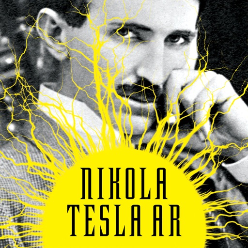
Explore interactive AR content featuring inventions. View embedded products that animate when scanned with the . Access historical information and 3D models of work. Share AR experiences with others.
Record geological observations with spatial data collection using points, lines, or polygons. Capture photos and sketches. Create maps and stratigraphic sections. Use high-resolution image basemaps and nested Spots for multi-scale data management.