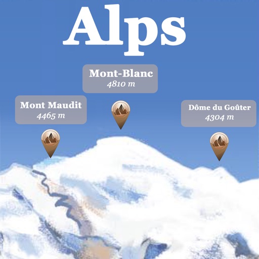
Answer questions about geography and landmarks using map data. Locate features like cliffs, towns, and peaks. Check altitudes and distances. Find nearby campsites and mountain refuges. Identify glaciers, lakes, and celestial bodies on the map.
by Louis-Joseph Mayoraz★ 4.510 ratingsTravelFreeData updated 2026-09-09
Find real-time schedules for Swiss transportation. View upcoming departures at each stop. Access an area map for navigation. Purchase travelcards, tickets, and day passes for national and regional routes.
Explore celestial objects with interactive star maps and detailed information. Identify constellations and planets. View historical and cultural facts. Set location-based sky views and track celestial events.
Point your smartphone at the night sky to identify constellations, stars, and satellites. AR overlays display celestial names in real time. Swipe to navigate different directions. Receive alerts for ISS passes and meteor showers.
Find sky locations free from for stargazing and photography. View aurora borealis maps, meteor shower alerts, super moon and lunar eclipse notifications. Track moon phases, monitor magnetic field data, and track the international space station.
Find hiking trails without an internet connection. Filter by difficulty, distance, and location. View detailed trail profiles created by local authors. Save favorite routes and access information about nearby waterfalls, lakes, and mountains.
Explore geological timelines with interactive maps showing continent movements. View animations of Pangea breakup and mountain formation. Learn about key events in history through detailed illustrations and timelines.
Track flights with real-time aircraft positioning on an interactive map. View details including airline, number, times, altitude, speed, and heading. Access AI-generated aircraft visuals for realistic representation.
Access live lift status, weather forecasts, and webcam views. Retrieve real-time updates and important notifications. Find comprehensive resort information and plan your visit with current conditions.
Displays current position via GPS with a map and sea level measurement in meters. Converts meters to feet using a calculator. Measures barometric pressure with a sensor for altitude tracking. Alerts for potential flooding.
Plan trips to parks with downloadable and guides. Access over 70 parks, 140 folded from various agencies, and 1,600 campgrounds. View 2,600 trails and motor vehicle use for navigation in areas without Wi-Fi.
Access level data and water release schedules. View detailed management guides for individual lakes. Find recreation information and historical details about TVA lakes.
Access real-time lift statuses, weather updates, and live mountain views. Find comprehensive resort information. Track ski conditions and plan your day with detailed insights. Navigate the mountain with interactive maps and trail details.
Access live lift status updates, weather reports, and mountain views. View comprehensive resort information. Track real-time conditions and plan your ski trip with detailed insights.
Plan trips to parks with downloadable and guides. Access 125+ parks, 400+ from various agencies, and 1.700+ campgrounds. View Motor Vehicle Use and visitor for national forests.
Access weather, trail conditions, and activity updates. Earn points, purchase tickets, and track progress toward leaderboards. Receive live notifications for events and promotions. View local guides and support the through in- actions.
Provides offline maps of the entire United States. Displays roads, terrain, streams, lakes, and landmarks. Works without cell signal. Allows zooming and panning. Includes compass and scale. Supports saving and sharing map views.