Answer questions about geography and landmarks using map data. Locate features like cliffs, towns, and peaks. Check altitudes and distances. Find nearby campsites and mountain refuges. Identify glaciers, lakes, and celestial bodies on the map.
by Louis-Joseph Mayoraz★ 4.510 ratingsTravelFreeData updated 2026-09-09
The app identifies summits, shelters, lakes, and springs in the Vosges mountains. It guides users to tourist attractions, picnic areas, and villages, and allows photo capture with location details.
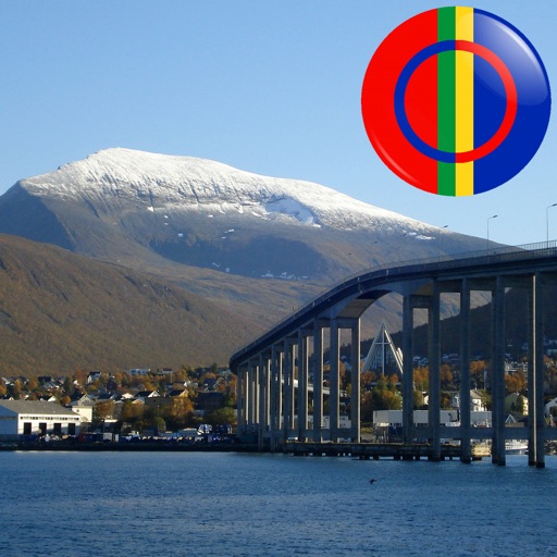
The app displays Sami points of interest in Norway, including mountains, lakes, and buildings. Users can identify locations by pointing their device and viewing them on the screen, even without an internet connection.
The app displays Coptic Orthodox churches and monasteries on a map. It provides real-time data, localized distance calculations, one-touch dialing, and a 360° view of destinations.