Measure land , distance, and perimeter using GPS and satellite maps. Define boundaries by placing points or walk the perimeter for hands-free tracking. Save and export measurement data for professional use.
Track and field events with start and finish buttons for each entry. Record data and view results on a summary screen. Sync with a companion website for event management and .
The app plans routes using multiple data sources, prioritizing cycle paths and quiet streets worldwide. It provides turn-by-turn instructions, elevation profiles, and offline maps for navigation on iPhone and Apple Watch.
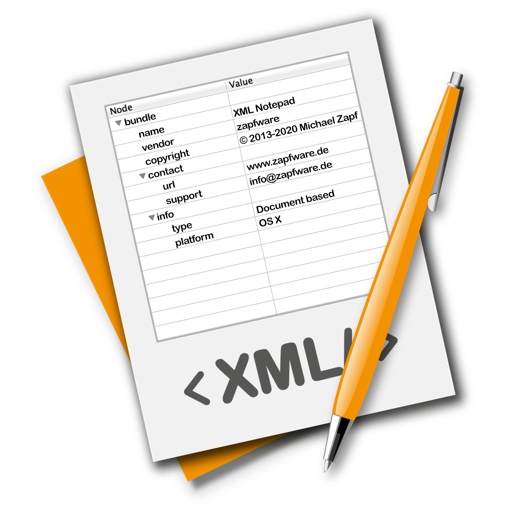
The app provides a lightweight and convenient tool for editing XML files. It allows users to edit, rearrange nodes, or create new XML documents without requiring developer skills.
The app tracks business-related trips using a single button to start and stop mileage logging. Users can share single trip data electronically or via hardcopy, and print multiple trip reports for tax preparation.
The app obtains and stores flight data, showing elapsed time, distance to take-off, ground speed, and climb rate. It supports competition data entry and displays direction and distance to waypoints, converting data to IGC, GPX, and KML formats.