– uses AR to display a digital protractor and on the device screen. Users can precisely, calibrate the , and save measurements. The supports both indoor and outdoor use for accurate readings.
Measures atmospheric pressure, altitude, and temperature using device sensors. Displays real-time readings and historical data. Alerts for pressure changes. Syncs with weather services for forecast updates.
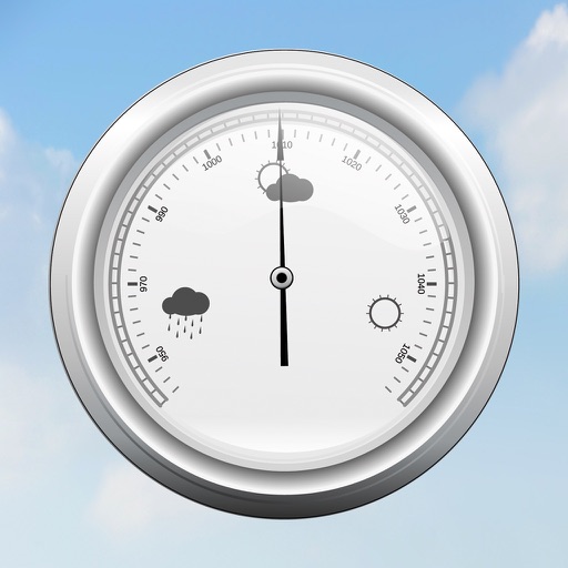
Monitor atmospheric pressure with sea level adjusted readings. View pressure charts and select from 20 background colors. Display pressure in multiple units including hPa, inHg, and kPa. Compatible with various iPhone and iPad models.
Track and altitude without an internet connection. Receive alerts for rapid drops. Monitor altitude changes and weather patterns. Log data for later review. Sync measurements with other devices.
View live weather radar and satellite imagery. Track precipitation types and lightning. Access high-resolution forecasts using advanced models. Set location-based alerts. Share weather data with others.
Track speed, distance, altitude, and heading with real-time GPS data. Record trips with route tracking and save journeys for later. View live maps with position updates. Export trip data for analysis.
The app offers a unit converter with 20 categories and numerous units, including live currency updates for 155 world currencies. It converts angle, area, data, energy, length, temperature, time, volume, weight, and more.
Calculate altitude using GPS, ASTER, or barometer (iPhone 6 and later). Display average altitude from GPS and ASTER data. Show peaks, compass, and distance grid on an integrated map. Support Apple Watch. Choose unit of measurement.
Measure acceleration, orientation, and motion with built-in sensors. Record and analyze real-time data for experiments. Detect and generate sound tones. Visualize audio waveforms. Export measurements and graphs for scientific use.
Displays current with minimum and maximum temperatures. Shows 72-hour and 10-day forecasts for global cities. Automatically detects location. Includes animated satellite maps with wind, rain, temperature, and cloud layers.
View real-time animated images with color-coded precipitation. Check future forecasts and detailed data through interactive map layers. Access fire and air quality indexes. Identify freezing rain for road hazard warnings.
Provides GPS altitude and pressure altitude readings. Displays speed in kph, mph, and knots. Measures barometric pressure in multiple units. Tracks acceleration in G forces. Shows location, magnetic, and true heading.
Digital measures ambient temperature using GPS and displays it in . Shows temperature in badge format with below-zero indicators. Includes to Celsius conversion calculator with formula.