
Air Density & Altitude: AirLab
BALLISTIC SOLUTIONS RESEARCH & DEVELOPMENT SOFTWARE SIARHEI RAICHONAK

Showing 261–280 of 1,000 ranked alternatives.
BALLISTIC SOLUTIONS RESEARCH & DEVELOPMENT SOFTWARE SIARHEI RAICHONAK

Rounded Peak Studios LLC
Track , altitude, and distance
View current in mph, km/h, knots, and other units. Display altitude above sea level. Track max and altitude during trips. Monitor distance traveled in trips. Check on Apple Watch. Pro upgrade unlocks custom colors, HUD mode, and ad removal.


Raymond Chase
Set altitude alerts and track vertical navigation
Manage altitude with customizable VNAV settings for precise control. Set altitude alerts and use ALT HOLD mode for minimal setup. Track vertical navigation parameters and adjust flight paths accordingly.

Best Search Infobrokerage, Inc
Worldwide weather details at fingertips.
The app provides worldwide weather details, including wind, precipitation, and wave data. It offers forecasts up to 16 days and can be used offline, with GRIB files downloadable via various connections.

Ian Ray
Track trips, share routes, and monitor location
Monitor location, heading, pressure, temperature, altitude, speed, distance, and elapsed time in real-time. Track trips, share routes, and receive comprehensive built-in instructions. Customize settings and view data on a large, easy-to-read display.


Nir Hamzani
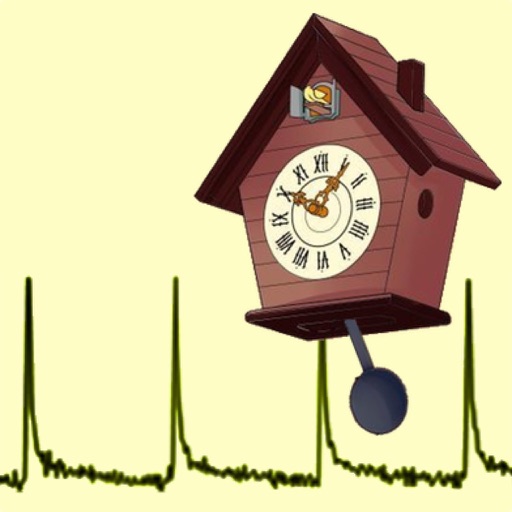
Measure beats and adjust accuracy
Calibrate and Pendulum clocks by measuring and adjusting their beat period. Sync with a known accurate time source to correct drift. Monitor daily time gain or loss with precision up to 0.001 milliseconds.

John Harrington
Measure and track lux levels
Measure levels using iPhone camera to calculate luminosity in Lux. Track exposure during waking hours and before bed. Help optimize sleep quality by monitoring ambient conditions.

Chris Carcerano
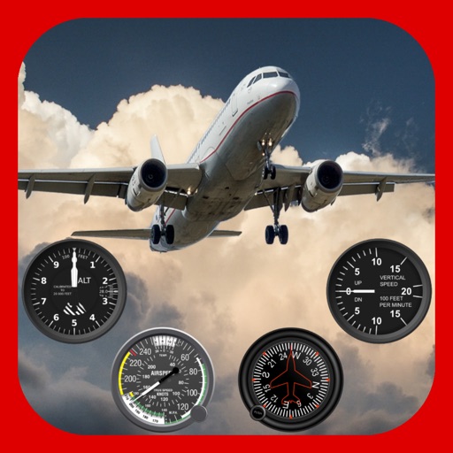
Track turbulence and view weather maps
View turbulence reports and overlays on Apple Maps. Access hundreds of aviation and weather maps. Filter turbulence data by time and altitude. Share turbulence maps with others. Retrieve detailed turbulence information with a tap.


Aero Notion Limited
Track weather, calculate fuel, convert coordinates
Access real-time weather data including METAR and TAF reports. View significant weather charts. Calculate fuel uplift with a dedicated tool. Adjust temperatures for altitude. Use iPhone widgets and a watch for quick access.



Ingenieria del Software ISEnet S.L.
Jet your bike based on weather
Configure carburetor settings for 2-stroke RM . Input temperature, altitude, humidity, atmospheric pressure, and oil-mix ratio to receive recommendations. Sync with GPS for real-time weather data and adjust settings based on environmental conditions.

BALLISTIC SOLUTIONS RESEARCH & DEVELOPMENT SOFTWARE SIARHEI RAICHONAK
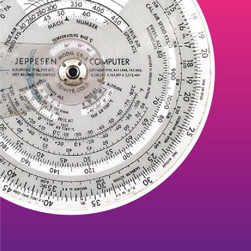
Optimize carburetor for karts
Calculate optimal carburetor for TM karts based on temperature, altitude, humidity, atmospheric pressure, and engine configuration. Recommend settings for S1 and S2 models using Tillotson diaphragm carburetors.
Apps are ranked by functional similarity, category fit, rating confidence, and popularity.