The app helps users find dump points across Australia. It displays dump points on a map or list, showing distance and travel time, with additional details available.
by Design Chaos Pty Ltd★ 0.00 ratingsTravel$2.99Data updated 2026-11-13
Access itinerary details, attractions, shopping, and restaurants. Use geolocation for real-time navigation. View AR-enhanced points of interest. Get recommended routes and explore additional locations.
Learn phrases, hear pronunciations, relax with nature
Learn phrases with definitions and native pronunciation recordings. Explore nature sounds for relaxation. Discover places and navigate to them. Search terms by context or type. Add custom phrases. Access an 'Aussie word of the day' widget.
Play a virtual with realistic vibration feedback. Choose from multiple color options. Compete in point challenges and view global leaderboards. Use as a stress, depression, and anxiety relief tool. Share scores and play with friends.
Students can set up profiles and request tutoring sessions. They can receive personalized academic support on-demand. Sessions allow for direct interaction with tutors for assistance.
Navigate with real-time traffic updates and turn-by-turn directions. Search for points of interest and locations. View detailed with accurate local data. Get offline map access and route customization. Share locations with others.
Turn-by-turn navigation for Australia New Zealand.
The app offers turn-by-turn navigation for Australia and New Zealand with offline map data. It includes SpeedAlert for national speed limits, school zones, and time of day, along with CarPlay support and HERE live traffic.
Play ambient from various global locations. Set a sleep timer to stop playback after falling asleep. Use night mode for dark environments. Lock screen and save battery by running audio in the background.
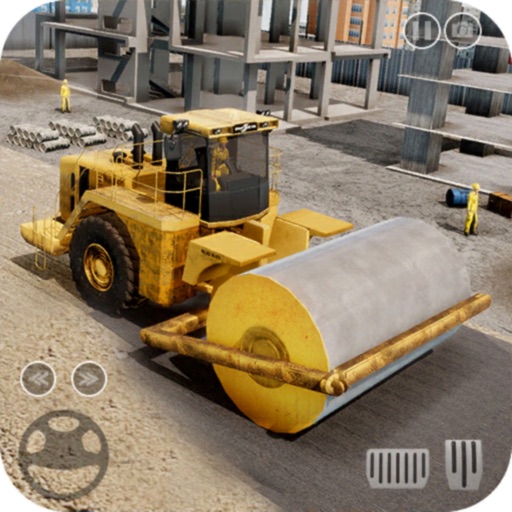
Build and manage a project using machinery like excavators, bulldozers, and cranes. Dig land, transport materials, and construct buildings. Complete tasks to develop a city. Manage resources and progress through various phases.
Plan subway routes in with real-time data and 2025 updates. Choose departure and arrival points for multiple transfer options including time, fare, and distance. Access offline maps and navigate using real-time location data.
Explore the region with detailed maps and trail guidance. Discover 24 interpreted sites including natural attractions and historical landmarks. Find accommodation options and plan stops along the self-drive route.
Find routes between stations with real-time transfer time calculations. View fare information and filter stations. Access an updated map for MRT and LRT. Plan trips without internet connectivity.
Remove unwanted photos, videos, and screenshots using AI analysis. Identify duplicates, blurry images, and random files. Delete or archive selected items to free up storage space. Organize media into folders and manage file retention settings.