The app converts barometric pressure to altitude above sea level. It displays current elevation, cabin altitude, and vertical speed, and saves maximum and minimum altitudes.
by Lonnie Ganz★ 2.33 ratingsNavigation$0.99Data updated 2026-11-13
The app measures height using the iPhone barometer sensor and current pressure. It can use the nearest weather station or a manual reference, and also displays the current temperature.
Measure current and track elevation changes. Save named locations with icons for easy navigation. Syncs across iPhone, iPad, and Apple Watch. No ads and free to use.
Display current speed using GPS and show speed limits via online checks. Alert when exceeding speed limits. Track weather, temperature, odometer, altitude, and average/max speed.
Track elevation and location using AI-powered and GPS. Access real-time weather forecasts based on barometric pressure. Use compass for direction and calculate sunrise/sunset times. View POIs and integrate with AI chatbot for contextual information.
Track speed and distance in miles and kilometers. Monitor real-time speed and display maximum and average speeds. Check speed limits and receive warnings for speed and red light cameras. Access offline maps and view weather conditions.
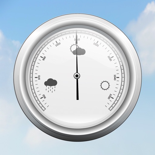
The app displays outdoor temperature, humidity, pressure, and discomfort index using an analog gauge. It provides current conditions and short-term trends based on the user's location or manually added cities.
Track , distance, altitude, and heading in real time with GPS. View live position on an interactive map. Record trips with detailed route mapping and save journeys for later review. Switch to HUD mode for hands-free navigation.
Calculate pressure at the target DZ using the method. Input the DZ altimeter setting and other required parameters. Display results for use with the in Operational Mode. Perform calculations without needing the physical circular .
Add GPS data including date, time, latitude, longitude, altitude, weather, and compass to . Share geotagged images with friends to show travel locations. Track live location and embed it into captured .
The app transforms devices into a compass with a rustic aesthetic and user-friendly interface. It provides location, altitude, and orientation using device sensors for navigation and everyday use.
Track with real-time GPS measurements and second-level precision. Monitor oxygen levels and elevation changes. Log journeys offline and sync data later. Customize themes and access advanced tracking features without login or ads.
Navigation provides altitude estimates using device location service for general use. It offers barometric altitude tracking with iPhone 6 or newer, allowing precise relative elevation changes.
View topographic with hill-shading and weather updates. Navigate using GPS and map layers. Log trails, share routes online, and plan backpacking or off-roading adventures. Track elevation and explore public land or custom trails.