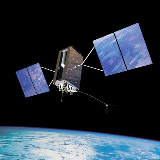
Satellite positions in real time using the Quasi-Zenith Satellite System. Identify satellite orbits and track their movement. Access detailed information about each satellite's location and status. Share satellite data with others via social media.
by NEC Corporation★ 4.319 ratingsNavigationFreeData updated 2026-09-09
Navigation provides GPS tracking, map navigation, and route planning. Includes tools, field manuals, and live conflict updates. Users can access guides, track locations, and receive real-time news.
Provide turn-by-turn voice with real-time traffic updates. Display maps and satellite views. Access offline maps and GPS directions without internet. Find nearby food, events, and activities. Include Google Street View for location details.
Identify , , and constellations by pointing the phone skyward. View real-time sky maps with overlays. Learn about celestial objects and satellites. Set location for accurate sky display. Save favorite constellations and .
Navigation allows users to view detailed maps with higher resolution and more street names. Display four times more map content on the screen. Includes sharper satellite imagery and points of interest. Adjust map scale for comfort.
Control satellite TV antenna settings via WiFi. View signal strength and satellite tracking status. Adjust channel selection and system configuration. Receive real-time updates on satellite connections and performance.
Track trips with breadcrumb navigation, speed, and distance statistics. Log equipment details and track mileage per vehicle. Access satellite view for enhanced map navigation and location tools.
Real-time maps and GPS locations. Access satellite imagery and 360-degree views for global exploration. Navigate streets with turn-by-turn directions. Track current location and update maps in real time.
View VIIRS and DMSP satellite data with customizable overlays including clouds, auroras, and IAU observatories. Display SQM and SQC measurements for . Add personal SQM readings via email. Track radiance changes over time.