The app generates flight plans in native FSX, FS2004, or X-Plane formats. Users create routes visually by tapping the map to add airports and waypoints, with options to remove waypoints before saving.
View GPS coordinates globally with a simple interface. Record and name waypoints during travel. Manage multiple waypoint lists. Import and export data as CSV or KML. Sync waypoints automatically via iCloud.
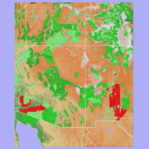
The app provides 3D topographic maps for iPad and iPhone. Vector map data is contained within the app for offline use, supporting navigation in various environments.
The app displays track, heading, distance, ground speed, time enroute, ETA, and fuel burn on one screen. It includes METAR and TAF weather access and 55,000 airports and navaids offline.
Use Google Maps to locate survey monuments, control points, and benchmarks. Re-project 2D CAD data to WGS 84 for accurate positioning. Geotag photos to verify benchmark accuracy. Check reliability through other surveyors' usage.
Navigate using vector maps with unlimited zoom. Plan and share routes. Import and view points of interest. Synchronize with a trip-planning site. Track location without cellular reception.
The app provides access to Thailand's largest crowdsourced POIs information. Users can add businesses, view traffic information, traffic cameras, and air quality data.