Measure distance by dropping pins or drawing paths on a map. Calculate total distance and segments between locations. Search and auto-complete locations. Use current location. Save and share custom maps. View Standard, Hybrid, or Satellite map types.
by Apperdashery LLC★ 4.013 ratingsUtilities$1.99Data updated 2026-09-09
Kunshan Nianyueri Information Technology Co., Ltd.
Calculate arc tangents and program parts
Calculate tangent points for arcs and generate real-time machining programs. Support cutter compensation and common part structures. Measure and program standard machining operations.
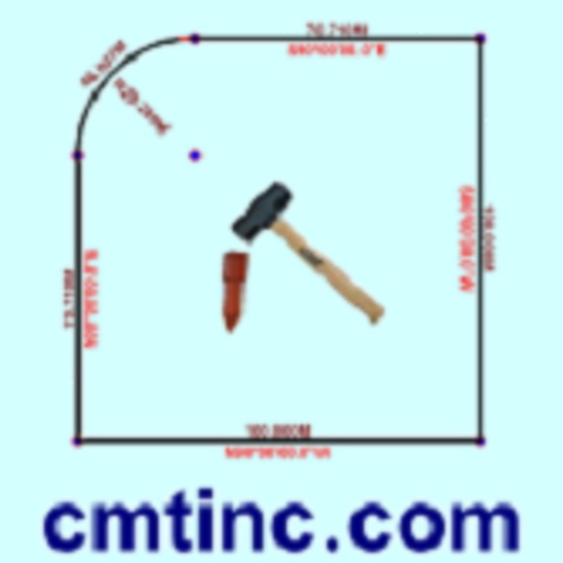
The app converts real property descriptions into boundary maps, displaying angles, distances, closure error, area, and perimeter. It offers stakeout functions for deed plots and individual points, with optional navigation beeps and GPS toggling.
Record journeys without an internet connection. Track distance, elevation, and detailed statistics. Save locations for navigation. Review routes and monitor progress without requiring mobile service.
The app allows users to search for businesses nationwide. It provides access to addresses, phone numbers, websites, and other listing data from participating publishers.
The app provides airport information for over 8,000 airports. It presents essential data including runway details, frequencies, weather, and NOTAMs in a clear layout.
The app pushes relevant jobs to users in real-time based on location and preferred working distance. Users can apply for shifts and book them with one click, with bookings managed in a working diary.
Digitally measure perforations, frame, and margins for centering grade. Calculate distances between any two points on scanned or photographed images. Provide precise measurements without guesswork.