
DashMate
Brook Street Games LLC
Find addresses and navigate with map
Find street addresses and zip codes using map and compass features. Search for food and gas locations along travel routes. View speedometer readings during navigation.

Measure distance between locations
Measure distance by dropping pins or drawing paths on a map. Calculate total distance and segments between locations. Search and auto-complete locations. Use current location. Save and share custom maps. View Standard, Hybrid, or Satellite map types.
Showing 381–400 of 1,000 ranked alternatives.
Brook Street Games LLC
Find addresses and navigate with map
Find street addresses and zip codes using map and compass features. Search for food and gas locations along travel routes. View speedometer readings during navigation.

InformationPages.com, Inc
Search businesses by location and sort
Search for businesses by location or city. View addresses, phone numbers, websites, emails, ads, coupons, and other business details. Sort results by distance or relevance. Switch between list and map views. Zoom and scroll to explore areas.


FugaPiyo Inc.
Write, erase, and share notes
Write directly on the screen with smooth ink and customizable pen settings. Redo and undo actions are available. Delete all content with one tap. Share or save as an image. Use eraser and ruler tools. Dark mode is supported. All features are free.


OG Systems, LLC (CA)
Track location, view maps, set geofences
Access real-time location and location history of GPS trackers with playback. Switch between map and satellite views. Receive alerts for movement, speed changes, or status updates. Create geofences to notify when entering or exiting specific areas.

Jay Patel
Alert users to nearby dangerous events
Receive real-time alerts for dangerous events near you during protests. Mark locations with descriptive pins to warn others. Verify pins if nearby to help maintain map accuracy.

Siu Yuen Ho
Record tracks into files easily.
The app records user tracks into files, logging latitude, longitude, altitude, speed, and distance. It supports multiple file formats and map services, with background logging and file sharing capabilities.


Sebastian Kruse
Navigate dungeons and track locations
Offline map for Link's adventure on Koholint Island. View locations of dungeons, items, heartcontainers, and screen borders. Access dungeon maps to find bosses and items. Tap icons for detailed descriptions of enemies and collectibles.

Ganotis Holdings, Inc.
Find and to locations
Take to mark locations and back to them. View the location on a map or follow an arrow for directions. Use for hiking, finding parked cars, meeting friends, or exploring routes based on .

Red Shepard LLC
Measure, convert, and with precision
Allows users to measure and calculate dimensions using feet, inches, and sixteenths. Input tape measure data directly for accurate conversions. Calculate angles and verify corners without manual calculations.
SHINNYO-EN GRAND HOLY TEMPLE
Direction and distance to holy places.
The app displays the distance and direction to a selected holy place. Users can view the location on a map and choose a background image.

Verona Solutions, LLC
Marine tide information for US stations.
The app offers marine tide information for US tide stations. It displays tide events, sunrise, sunset, moonrise, and moonset, with tide graphs and current predictions.

敏 吴
Search routes, view maps, and navigate offline
Access real-time schedules and route maps for . Search routes with multiple options, including time, fare, and distance. View station details and nearby areas. Supports Chinese, English, Japanese, Thai, and Korean.

Spider Tracks Limited
View flight information and communicate easily.
The app displays real-time aircraft locations and flight history for Spidertracks account holders. Users can overlay live weather updates onto various map types, including VFR and IFR options.

Jaroslaw Szymczyk
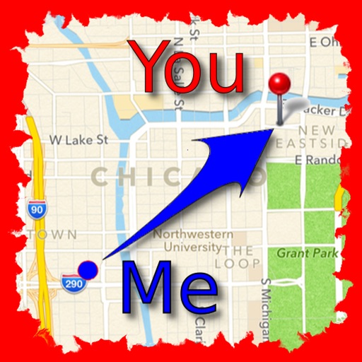
Find friends and save locations.
The app allows users to find friends by showing their current direction and distance to the friend's last known location. Users can label and store locations, then find directions and distance to them.
Apps are ranked by functional similarity, category fit, rating confidence, and popularity.