Measure distance by dropping pins or drawing paths on a map. Calculate total distance and segments between locations. Search and auto-complete locations. Use current location. Save and share custom maps. View Standard, Hybrid, or Satellite map types.
by Apperdashery LLC★ 4.013 ratingsUtilities$1.99Data updated 2026-09-09
View locations and coverage details using augmented reality. Tap on towers to see distance, provider name, and signal strength. Check electromagnetic radiation levels from nearby towers.
Locate Bluetooth devices by selecting them from a list. Play a sound to help the . View last known location and signal strength. Enable remote tracking and notifications.
Track vehicle speed with a digital speedometer showing current, average, maximum speed, and total distance. Use offline mode for uninterrupted performance. Access two HUD modes for windshield display. Choose from 10 themes for customization.
Track running laps and distance using barcodes or QR codes. Display lap counts and total distance per student. Scan with iPhone or iPad. iPad can function as a self-scanning station with front camera.
The app displays hunting zones overlaid on various maps for users to determine their location and corresponding zone. Users can view open seasons for different game types and add personal waypoints, tracks, and drawings.
Locate lost Bluetooth devices with distance meter, map view, and vibration alerts. Check last known location. Receive sound and vibration cues when nearby.
Access detailed information about battle monuments, military units, and participants. Search and map locations within the park and Adams County. View historical data and unit details for research and educational purposes.
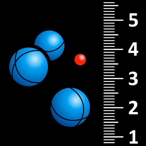
Measure distances between boules and the jack in pétanque games using automatic photo capture with a bubble level. Tap on boules and the jack to identify them via visual recognition. Display measurements and rankings.
Live with contacts, set safe zones, and mark favorite places on a map. Create and save locations for future reference. View nearby spots and receive -based alerts. Control privacy settings and manage shared locations.
Create and edit and drawings for home screen and lock screen widgets. Draw with Apple Pencil or finger, type with keyboard. Customize backgrounds, colors, fonts, and zoom for details. Combine text and drawings in one note. Share as images or text.
Navigation allows users to save locations using the red cross on a map. Users can retrieve saved locations by following a red arrow in Augmented Reality.
Record travel journeys by logging distance, time, and expenses. Calculate total and track fuel costs. Export data as reports and set reminders for recurring trips.
Daily routes with automatic GPS logging. View personalized maps of traveled paths. Highlight locations visited. Save and revisit favorite spots. Share trip data with others. Sync across devices for continuous tracking.
Adjust focus distance, set ISO sensitivity, control shutter speed, and customize white balance. Capture images with reduced noise and blurred motion effects for creative photography.
Provide real-time location updates with block-level accuracy. Search for places and events by time, location, and custom filters. Save and share favorite locations. Update places and events instantly. Navigate using additional map entrances.
Allows users to pick locations on a map to offer or rides. Filter by type and preview routes with distance and ETA. Book or cancel trips with instant sync to "My Trips".
Track , distance, and performance with real-time GPS data. Display in mph and km. Log trips and view historical records. Set alerts and monitor journey details. Sync data across devices for ongoing performance analysis.