Apps Like Quickgets Geo: geodata widgets for iPhone and iPad
Track location, speed, and altitude
Displays current course, speed, altitude, coordinates, orientation, and weather using GPS and compass. It includes advanced bookmarking, Street View, and live Flyover mapping features.
by Alvaro Maroto Conde★ 4.4229 ratingsLifestyle$2.99Data updated 2026-10-30
Tracks location, speed, altitude, heading, acceleration, g-force, and atmospheric pressure. Displays and records current weather. Plays back tracks at multiple speeds. Provides suggested routes for reference. Allows pausing and resuming tracking.
LogGPS records GPS data including coordinates, altitude, speed, and accuracy when the save button is pressed. Users can add notes, edit or clear them between saves. Data is stored with timestamps and can be reviewed later.
Provides GPS altitude and pressure altitude readings. Displays speed in kph, mph, and knots. Measures barometric pressure in multiple units. Tracks acceleration in G forces. Shows location, magnetic, and true heading.
The app provides real-time GPS tracking for outdoor activities. It offers route planning, navigation, and track recording with live statistics, all while ensuring user privacy with no data collection.
CEBINDEKI PAZAR E-TICARET ALISVERIS HIZMETLERI SANAYI VE TICARET LIMITED SIRKETI
Find locations, coordinates, navigate paths
Track current and specified locations with map views. coordinates or addresses via text or email. Set custom reminders. View orientation directions and distance measurements between points. Sync with other devices for real-time updates.
View and navigate USGS and satellite imagery. Download for offline use. Track hiking routes and save locations. Access detailed terrain and elevation data.
Track location, speed, altitude, and heading using built-in GPS. Customize with widgets for quick access. View real-time movement data and adjust settings for navigation.
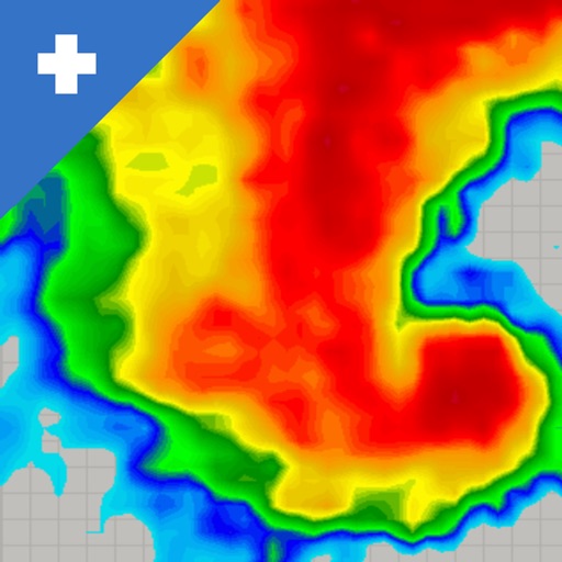
View real-time mosaics with 250-meter resolution for detailed storm tracking. Zoom in on weather patterns and analyze data. Save and share images. Access historical data for comparison. Set location-based alerts for severe weather conditions.
Measure distances and angles using a rangefinder and inclinometer. View GPS coordinates and map overlays. Take geo-tagged photos and videos. Use a compass and navigation calculator for orientation and route planning.
Check GPS and altitude of your current location. Tap to copy for pasting elsewhere. View current and saved locations in Maps. Share location via SMS or button. Bookmark current location with a name and access saved bookmarks with visit history.
Track speed in using units like meters per second, miles per hour, and kilometers per hour. Display speed in English or Spanish. Allow users to request additional language support.