

Apps Like B4i - Coordinates Calculator for iPhone and iPad
Navigational calculator for coordinate conversion.
The app converts between UTM and Lat/Lon coordinate systems and supports different datums and formats. It displays current navigational information and can send locations via SMS or email, featuring text-to-speech and an animated compass.
B4i - Coordinates Calculator screenshots
Ranked alternatives
Showing 141–160 of 1,000 ranked alternatives.

Digital Temperature Converter
Zipo Apps Ltd.
Convert temperatures between eight units.
The app converts temperature values between eight different units. It displays the formulas used for each conversion.

Fahrenheit Celsius Calculator
Michael Baron
Convert temperatures between and
Convert temperatures between and . Calculate conversions manually or use the built-in . Access current, historical, and forecasted weather data for any city in both temperature scales simultaneously.

My Microphone: Voice Amplifier
PIKI GRUP, OSOO
Record audio and connect via Bluetooth
Use iOS device as a live microphone for stereo systems or Bluetooth connections. Create karaoke tracks with synced lyrics in any language. Convert speech to text with AI. Record performances automatically with a single button.

Binary Converter Calculator
Michael Horowitz
Convert text to and vice versa
Convert text, , hexadecimal, and custom base numbers to each other. Perform base conversions with a minimalistic interface. Learn how different number systems work through interactive conversion. Encode messages in for fun or practical use.


Speedometer •
Unicom TOV
Track speed, location, and weather
Track speed with a graphical dashboard and analog/numeric display. View current location, weather, and temperature in Celsius or Fahrenheit. Switch between kilometer and mile units. Customize dashboard colors and use an analog compass.


Basic Calculator -
SuperDG Inc.
Calculate, edit, and track entries
Perform arithmetic operations with a simple interface. View current calculations and track history. Supports universal device compatibility. No advanced or engineering functions included.

Calculator!!
Behzad Dogahe
Calculate and track expressions
Calculator displays calculations in real-time and saves a history accessible by swiping up. It handles fractions, converting between proper, improper, and mixed formats. It supports degrees, minutes, and seconds for angle input.

Linear Interpolation Master
VERVE TECHNOLOGIES PTY. LTD.
Swap coordinates and calculate
A calculator for industrial engineers. Displays large numbers for field use. Swaps x and y coordinates for different input ranges.

Compass Maps - Digital Compass
KIET NGUYEN TAN
Navigate, measure, and share locations
Displays real-time traffic and satellite views. Shows current location and allows address input. Measures land area and calculates radius and corners. Shares location via email, SMS, or social networks. Auto-updates direction based on movement.

Map Plus
Miocool Inc.
Edit maps, view data, manage geography
View and edit custom maps, manage geographic data, and perform measurements. Support offline map downloads, track locations, record photos and videos, and share memories. Includes tools for surveying, cartography, and planning trips.

Topo GPS - Topographic maps
rdzl
Complete GPS device with detailed maps.
The app provides detailed topographic maps for outdoor activities. Viewed maps are stored on the device for offline use.
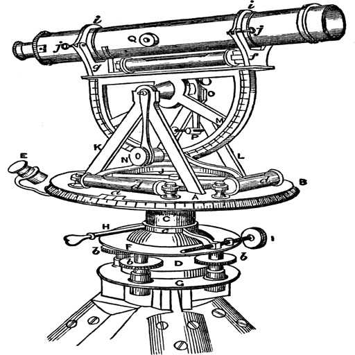
Topography
Georgios Graikousis
Measure surface area and convert coordinates.
The app converts coordinates to UTM EGSA87 Datum and calculates polygon area in square meters. It sends measurements via email in DXF, KML, or TXT file formats for use in various applications.
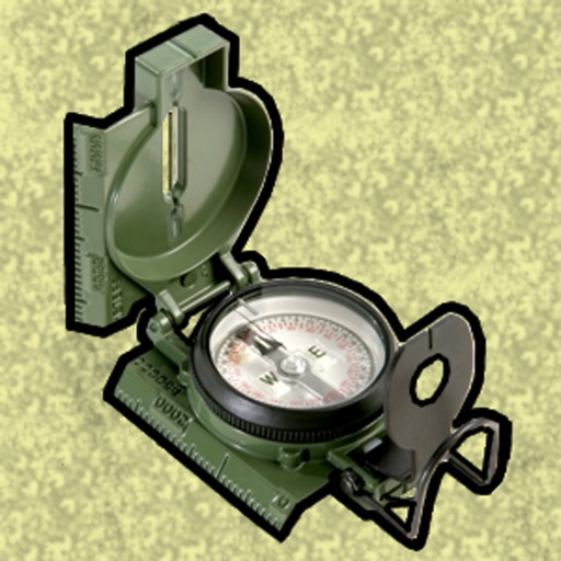
Land Nav Assistant
Gammon Applications, LLC
Navigate using MGRS or coordinates
Enter MGRS or coordinate data to navigate to specific points. Adjust pace count and track deviations. View distance, speed, and angle settings in meters/km or feet/miles. Analyze movement patterns for navigation improvement.

GPS Status & Toolbox
MobiWIA Korlatolt Felelossegu Tarsasag
Track GPS data and save locations
Track GPS and GLONASS satellite data including position, accuracy, speed, altitude, and orientation. Save and navigate to locations using coordinates or real-time data. Use a compass with magnetic and true north, a leveling tool, and waypoints.

Radar Plotting
Giacomo Gabriele
Track targets and calculate CPA TCPA
Calculate target kinematic data including CPA and TCPA. Determine evasive maneuvers for single and multiple targets. Assess current and escape maneuvers. Evaluate rescue and speed reduction options.

How we rank alternatives
Apps are ranked by functional similarity, category fit, rating confidence, and popularity.