
Krogen Finder
Air Dave, LLC
Locate Krogen Trawlers for owners.
The app locates Krogen Trawlers for Krogen Cruisers owners group members. A captain can log their vessel's position and see other trawlers nearby.

Report whale sightings, save whales.
The app provides an interactive map of whale sightings and real-time alerts for areas of concern. Users can report whale activity, access marine rules, and monitor collision risk to help protect whales.
Showing 481–500 of 1,000 ranked alternatives.
Air Dave, LLC
Locate Krogen Trawlers for owners.
The app locates Krogen Trawlers for Krogen Cruisers owners group members. A captain can log their vessel's position and see other trawlers nearby.


Chesapeake Conservancy
Real-time Bay data and forecasts.
The app provides real-time meteorological and oceanographic data from buoys in the Chesapeake Bay. It includes air and water temperature, wind speed, wave height, and links to NOAA marine forecasts and tide information.

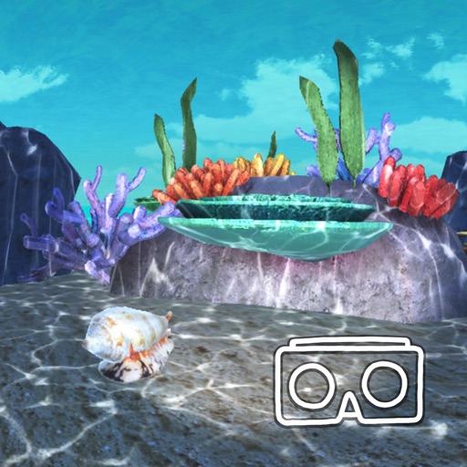
Killer Snails LLC
Explore marine ecosystems in VR
Explore marine ecosystems through virtual reality. Study abiotic factors' impact on biotic factors in diverse environments. Document findings in a digital science journal. Navigate between virtual expeditions and journal entries.


Flytomap
Access real-time NOAA buoy data.
The app provides real-time NOAA buoy data including tides, wave height, wind speed, and atmospheric details. Users can explore a global marine map, access detailed charts, and receive location-specific forecasts for iPhone, iPod, and iPad.


Martyn Wiggins
Plan routes, track progress, and explore landmarks
Plan and ride cycling routes along 6, including distances and travel times between towns. View amenities, maps, and accommodation options. Find lunch spots and track your journey progress.


Guenter Obiltschnig
Marine AIS data over WiFi
The app displays AIS data from marine transponders or receivers over WiFi. It provides a radar-like view of targets with course and speed, computes closest point of approach, and offers selectable display ranges.

Charles T. Bargeron
Identify invasive plants in Alaska.
The app provides an interactive key for identifying invasive plants using features and images. Users can report sightings with location and images, with options for online and offline use.


AUCKLAND MUSEUM ENTERPRISES LIMITED
Identify New Zealand's Coastal Marine Life
The app identifies over 360 New Zealand coastal marine species including mammals, birds, reptiles, fish, and invertebrates. It provides details on biology, characteristics, diet, habitat, and native or endangered status for each species.

Kedronic UAB
Explore the ocean, connect the dots.
The app offers a journey through the sea, connecting points by numbers or letters to reveal hidden pictures. Users can then color these revealed images using a customizable palette.


Apps are ranked by functional similarity, category fit, rating confidence, and popularity.