
SkyPilot GPS Dashboard
Christoph Schulz
Track location, speed, and heading
Track location, speed, altitude, and heading using built-in GPS. Customize with widgets for quick access. View real-time movement data and adjust settings for navigation.

Track altitude, max, and min elevation
Display current, maximum, and minimum altitude using GPS. Switch between meters, feet, and yards. Adjust scale increments of 10, 100, 1000, or 10000. Track altitude changes during hiking or travel.
Showing 201–220 of 1,000 ranked alternatives.
Christoph Schulz
Track location, speed, and heading
Track location, speed, altitude, and heading using built-in GPS. Customize with widgets for quick access. View real-time movement data and adjust settings for navigation.

美霞 熊
Track location with GPS and weather data
Display , latitude, altitude, and GPS speed. Show real-time weather, pressure, and wind direction. Track location with GPS and mobile sensors. View geographical data for accurate positioning.


Paul Steinhilber
Locate your position and share it
Determine current location with GPS coordinates, altitude, and accuracy. Identify street, city, county, state, and country. Share position via email, text, Twitter, or Facebook. Copy address or coordinates to share elsewhere.


Sean Flanagan
Display roll and pitch gauges.
The app displays a clinometer, also known as a tilt meter, using the device's accelerometers. It shows Roll and Pitch gauges, with options for compass display, magnetic or GPS heading, and adjustable alert sounds.


Kazuya Fujita
Sign with your hand, save as image,
Create a by handwriting with customizable color and pen thickness. Choose from different pen and eraser tools. Undo or redo actions. Save the as an image or copy it to the clipboard. Scale display is available.

Immaginet Srl
Navigate with AI and weather data
Track elevation and location using AI-powered and GPS. Access real-time weather forecasts based on barometric pressure. Use compass for direction and calculate sunrise/sunset times. View POIs and integrate with AI chatbot for contextual information.

Xuan Luong Do
Find coordinates and get directions
Coordinates can be viewed and shared via decimal degrees, degrees-minute-seconds, degrees-minute-decimal, UTM, and military grid systems. Users can tap a map to retrieve coordinates and directions.

Cato Technologies LLC
Balloon flight companion for pilots.
The app provides balloon flight planning and tracking. It offers waypoint navigation, wind profiling, and flight recording.

Elen Bekzadyan
Real compass with location and weather.
The app displays device orientation to magnetic fields. It provides location coordinates, course, speed, altitude, weather information, date, time, and map views.


Parth Pandya
Track location without internet
Track location data without internet connectivity. View date-wise location history on your . Access current location to record movement. No personal data is uploaded or shared. Monitor activity logs directly from the .

Misha Software Solutions, LLC
Track speed, altitude, and direction
Display speed in miles per hour or kilometers per hour. Show altitude and direction. Switch units by tapping the screen. Track speed for cars, trains, buses, bicycles, and other vehicles.

Siu Yuen Ho
Record and save as files
Record location data including latitude, longitude, altitude, speed, and distance. Save logs in CSV, KML, GPX, TCX, FITLOG, and NMEA formats. Use Apple or Google maps. Enable background logging. Share files via AirDrop. Upload to iCloud Drive.

海英 王
Measure , track air pressure, customize themes
Measure in real time using GPS and sensor data with less than 3-meter error. Track air pressure and oxygen concentration. Customize themes for personalized backgrounds.
AFS-Software GmbH & Co.KG
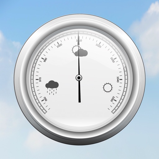
Barometric pressure and sensor data.
The app displays current barometric pressure using the device's air pressure sensor. It shows measured maximum and minimum values, and users can move the sensor to improve readings.
Apps are ranked by functional similarity, category fit, rating confidence, and popularity.