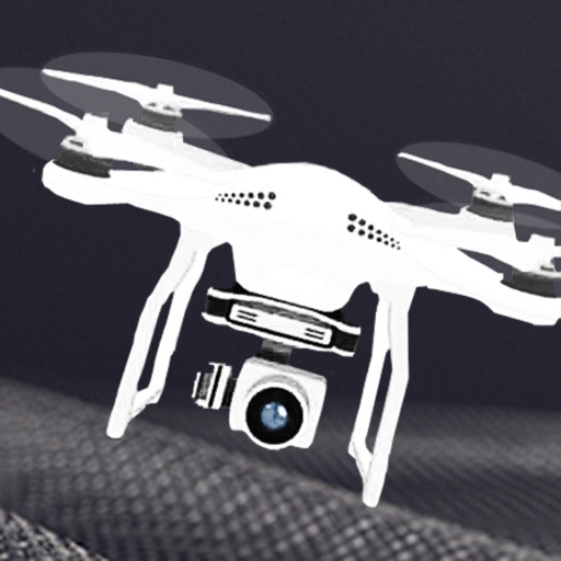
Control drone flights with automated missions, semi-automated workflows, and manual controls. Set waypoints, orbits, and vertical mapping. Preview missions in 3D. Support for DJI and Autel drones.
Track flights, view aircraft, and follow destinations
Track flights operated by , view aircraft models, and check flight speeds. Monitor destinations and flight paths. Receive real-time updates on flight status and arrival times. Explore pilot perspectives and aviation details.
Track aircraft positions in real-time using ADS-B data. View live paths, altitudes, and speeds. Search for specific planes by identifier. Receive alerts for nearby flights and airspace changes.
Track flights in real-time with detailed global air traffic radar. View paths, aircraft positions, and details instantly. Switch between airports or select specific airlines to monitor their flights.
Track up to 20 friends on a shared map. Sync waypoints, tracks, routes, and collections across devices. Plan routes using the same maps and vehicle profiles as on the Tread device. Import and export GPX files.
Capture aerial footage with real-time HD video feed. Adjust camera settings and control drone flight. Edit videos with improved interface and add music or templates. Share edited content directly.
Calculate the Great Circle between any two airports worldwide. Search by name, ICAO, or IATA code. View accurate measurements and flight path information.
Weather "View current conditions, forecasts, and radar maps. Set location-based alerts. Customize notifications for severe weather. Share forecasts with others."