Create and customize a by adding or removing players and adjusting their details. Use a drawing tool to modify line thickness and color. Save and share screenshots. Hide players not participating in the game.
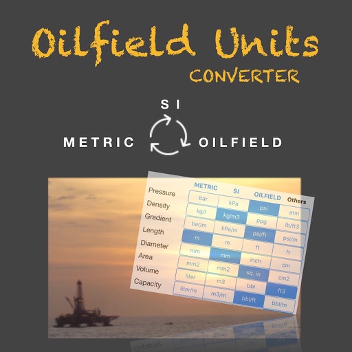
Convert units across 14 categories including length, weight, and temperature. Switch between metric, imperial, and Chinese traditional systems. Customize display formats and save frequently used conversions.
Track location using GPS data from others or popular map services. View real-time location on maps. Confirm if current position is on a planned route. Import and analyze .gpx, .kml, .tcx, and .kmz files for navigation guidance.