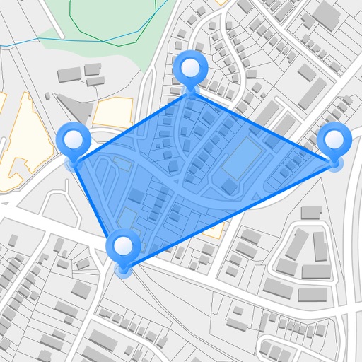
Measure distances, perimeters, and areas by placing pins on a map. Calculate dimensions and save measurements. Share results via email or export as a file. Sync with other devices for collaborative projects.
Draw sketches using brushes and tools with support for Apple Pencil. Create layered artwork and zoom for detailed painting. Import and export vector images in PDF, PNG, and JPEG formats. Use color or photo backgrounds. Save artwork for later.
Display speed limits and alert for overspeeding. Show speed camera locations and distance. Provide average and maximum speed tracking. Include odometer and unit selection for KMH/MPH. Display current road name, weather conditions, and temperature.
Track routes for hiking, running, cycling, and other activities with GPS. View recorded paths on maps. Save favorite locations for quick access. Measure distance, speed, and elevation. Export data in various formats.
Add using current location or search. Create routes with step-by-step navigation. Save notes and photos for each location. Share locations with others. Track visited and plan future trips. Sync across devices.
Access offline topographic of New Zealand. Download and manage to conserve storage. Locate DOC huts, campsites, and hunting areas. Search for named locations. Import GPX routes and share via AirDrop. Measure distances on .
Perform calculations with addition, subtraction, division, and multiplication. Calculate powers, roots, and percentages. Use dark mode, split view, and portrait/landscape orientation. Copy results by pressing and holding numbers.
Measure areas and distances on maps by placing points and calculating the total or route length. Save and share specific locations as points of interest. Calculate GPS areas with high accuracy.
Draw with a brush that adjusts width based on finger movement speed. Create Japanese calligraphy or watercolor paintings. Select or capture background images. Save or export drawings to other apps.
Helps users make choices by offering tools like spin the for random selections, flip for quick decisions, and list for structured options. Users can customize wheels, flip coins, or create lists to decide on activities, meals, or debates.
The app measures land area, perimeter, and distance using GPS, manual input, or a mixed approach. It displays measurements in various units and allows saving, editing, and exporting plans in KML or DXF formats.