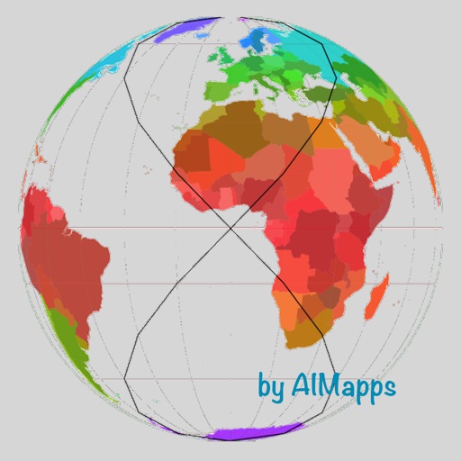
Explore country maps with detailed location data and access comprehensive fact book information. Search for country-specific details, view retina vector maps, and navigate between locations with intuitive zoom and pan features.
By connecting letters to form valid and solve crosswords. Complete levels by discovering all hidden and using free hints. Play mini games for additional hints. Track progress through levels and unlock new countries and dishes.
Create and complete national flags by filling blank spaces with colors. Use hints to learn country details. Test IQ by matching elements. Paint flags of multiple countries. Save and share completed designs.
Vocabulary through interactive games that teach phonics and reinforce memory. Recognize letters, animals, fruits, colors, numbers, and food. Practice vocabulary with quizzes and word recognition exercises.
Explore countries through interactive flags on a dynamic map. Tap to view interesting facts. Track travel progress with a pie chart showing visited countries. Add visited locations to update progress. Share travel achievements with others.
Identify landmarks, cities, natural sites, and UNESCO World Heritage sites from satellite views. Choose from 190 landmarks, 168 cities, 109 natural sites, and 651 UNESCO sites across 10 countries. Zoom in and out to examine details.
Learn through interactive gameplay with four difficulty levels, each focusing on different groups. Tap "Learn" to study and enhance memory. Test knowledge with all world in the final level. Track progress and review for mastery.