
Busly - SF Muni, WMATA, MBTA
Alex Perez
Track bus and train locations in real
View live bus and train locations with real-time updates on a map showing route lines and stops. Check up-to-date arrival times for both stops and vehicles.

Showing 21–40 of 1,000 ranked alternatives.
Alex Perez
Track bus and train locations in real
View live bus and train locations with real-time updates on a map showing route lines and stops. Check up-to-date arrival times for both stops and vehicles.

Bist LLC
Navigate property lines and hunting zones
Navigation allows users to view property line , parcels, and public lands. Access land ownership details and map layers for 50+ states including hunting zones and restricted areas.

Avail Technologies, Inc.
Plan trips, track buses, get alerts
Plan trips using Google search. View real-time bus locations on a map. Receive email and SMS alerts for service updates. Find the nearest stop. Check bus capacity to avoid overcrowding. Track schedules and service alerts.


Passio Technologies, Inc
Track bus locations and ETA with ease
Track bus locations, routes, and estimated arrival times with real-time updates. View grouped stop names and ETA details for clearer navigation. Submit feedback on ETA accuracy to improve service.


Miocool Inc.
Edit maps, view data, manage geography
View and edit custom maps, manage geographic data, and perform measurements. Support offline map downloads, track locations, record photos and videos, and share memories. Includes tools for surveying, cartography, and planning trips.


Underground Blueprint, LLC
Locate utilities and record positions with pinpoint
Locate underground and above-ground utilities with pinpoint mapping. Record and manage data points for infrastructure. Export data or relocate previous map entries. Answer location-based questions about services or damages.

Guillaume Fleury
Track speed, distance, and route while cycling
Track cycling performance with real-time speed, distance, and route data. Choose from digital, analog, or map displays. View ride history and manage past rides. Automatically pause timing when stationary. Swipe to switch between displays.


Corvin Hartmann
View maps, search locations, customize settings
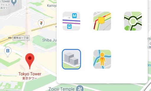
View maps in three different styles with six customizable settings. Long press to access map options. Search for locations and streets. Navigate with fullscreen map interface.

Ngo Na
Navigate with customizable designs
Display True North or Magnetic North directions. Show rose with customizable colors and designs. Accurately navigate globally with GPS support. Track movement and orientation during outdoor activities.

Stewart Lynch
Log trips, filter logs, email reports
Log travel distance manually or automatically. Filter logs by travel mode or keyword. Email and download logs. Store locations by category and manage visibility. Plan trips by mapping destinations and organizing them in vacation categories.


Apps are ranked by functional similarity, category fit, rating confidence, and popularity.