
Portland Airport (PDX) + Radar
Renji Mathew
Track flights and manage trips easily.
The app provides flight tracking for Portland International Airport. Users can view live arrival and departure boards, manage trips, and access a packing checklist.

Track weather data and flight information
View METAR and TAF reports for global airports. Access TFRs and NOTAMs for every airport. Receive AIRMETs, SIGMETs, and CWA alerts with worldwide coverage. See 3D runway views and airport diagrams for the U.S. and South Africa.
Showing 281–300 of 1,000 ranked alternatives.
Renji Mathew
Track flights and manage trips easily.
The app provides flight tracking for Portland International Airport. Users can view live arrival and departure boards, manage trips, and access a packing checklist.


Gonzalo Esteban Astica Capra
Manage flight data and calculate fuel burn
Navigation provides flight planning and in-flight calculations. Users can customize quick access buttons, configure units, and manage blocks and airtime.


Freewave GmbH
Find Freewave Wi-Fi hotspots Austria.
The app locates Freewave Wi-Fi hotspots in Austria, including cafes, restaurants, and airports. Hotspot location data is automatically updated and available offline, with nearby options also shown on Apple Watch.

I Heart Travel Inc.
Explore spots with maps and directions
Explore top 130 photo spots with maps, directions, and detailed descriptions. View photos and location info without internet. Download the before traveling for use. Navigate without cell signal.


CAVU Companies USA, Inc.
Aircraft performance calculations from AFM.
The app calculates aircraft performance without an internet connection, using data directly from the AFM. It integrates weight and balance into performance calculations and displays results in a TOLD card format.


Uchechukwu Debra Ginigeme
Navigate large spaces with maps
Create detailed interior maps for large spaces like malls, schools, and hospitals. Navigate indoor areas with real-time directions. Locate items quickly using step-by-step guidance. Sync with building layouts for accurate positioning.
Christof Steuper
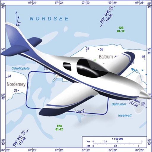
VFR charts for German airfields and helicopter sites.
The app provides VFR charts for German airfields and helicopter landing sites, including French AIP maps. Users require an account for content downloads and map updates, with monthly updates available for a fee.


FLEMINGER MEDIA LLC
Track wind conditions for safe flights
FlightWinds calculates crosswind, tailwind, and headwind components for takeoff and landing. Displays dual runway views. Alerts users when wind limits are exceeded. Offers an intuitive interface and universal access.

Renji Mathew
Detroit airport flight tracking and management.
The app provides flight tracking for Detroit Metropolitan Wayne County Airport. It offers live arrival and departure boards, flight status, and tools to find alternate flights.

Logic Design
Soaring navigation app for glider pilots.
The app supports glider pilots during competitions, cross-country flights, or recreational flights. It offers features like a final glide calculator, terrain map, and airspace warnings.

Logic Design
Navigate flights with real-time maps
Track flight paths and waypoints. Display real-time GPS data and altitude. Set navigation targets and receive turn-by-turn guidance. Monitor weather conditions and air traffic. Save and share flight logs. Sync with external devices for telemetry.

Apps are ranked by functional similarity, category fit, rating confidence, and popularity.