Dimensions, spacing, and angles in screenshots and photos. Analyze color values, grid alignment, and element positions. Export measurements and compare dimensions across images.
Displays altitude, coordinates, and speed with options for metric or imperial units. Shows accuracy and warns about signal issues. Offers aircraft mode with in feet. Compares current altitude with known values. No ads or data collection.
The app measures angles and aligns objects using the camera. It offers a distance/height estimation tool and a traceable level for various measurements.
Without touching the screen using the proximity sensor. Tap to increment, swipe left or right to decrement, and hold to reset. Multi-touch allows counting multiple times with separate fingers. Shake to generate a random number.
Measure distances using GNSS for outdoor surveys. Track and view results on iOS maps. Share tracking data via file sharing. Adjust units to meters, feet, or U.S. survey feet. Select distance calculation methods. Remove ads with in- purchase.
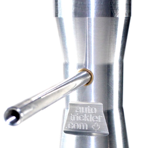
Connect to your via Bluetooth to set a target weight. Manage the system by adjusting settings and monitoring performance. Receive notifications about system status and weight updates.
The app measures distances between map waypoints and surface areas of polygons. Users can select measurement units including kilometers, miles, and nautical miles.
The app calculates RF link characteristics, including wireless internet links. It computes maximum distance, required transmitter power, or gain margin.