

Apps Like Traffic Maps: realtime info for iPhone and iPad
Track with two customizable maps
Navigation displays real-time on two customizable maps. Users can track their position while driving, adjust zoom settings per map, set map sizes, and toggle between vehicle-following and north-up views.
Traffic Maps: realtime info screenshots
Ranked alternatives
Showing 421–440 of 1,000 ranked alternatives.

Altimeter - My Altitude
伟 雷
Track and position data
Measure , position, and coordinate information in real time. Customize display settings for , speed, and coordinates. Use the coordinate picker to retrieve location data from any map point.

Global Locator
NIK PSARAGKATHOS
Position data in many formats.
The app provides coordinate reading and navigation for users needing exact position data. It supports multiple coordinate formats and works without a connection for conversions and saved places.

KOMPASS Outdoor & Hiking Maps
Kompass Karten GmbH
Navigate trails with professional outdoor maps.
The app provides professional maps for outdoor activities like hiking and cycling. It offers offline map storage, GPS tracking, and access to certified tours with detailed descriptions for planning adventures.


Guangzhou Metro Map
炽金 练
Plan trips with subway maps and routes
View subway maps in Traditional Chinese, Simplified Chinese, and English. Plan routes with one-click transfer options. Check station details and first/last train times. Browse lines for quick itinerary planning.

511 Georgia
IBI Group
Georgia road and traffic information.
The app provides real-time road and traffic information for Georgia drivers. It displays traffic events, cameras, message signs, rest areas, and express lanes on a zoomable map, helping users plan routes and anticipate delays.


SandhamnPro
Extullo AB
Information for Sandhamn travel and experience.
The app provides information for traveling to and experiencing Sandhamn. It includes AIS traffic, weather data, timetables, webcams, and a map.

EarthConnect 2025
Baria Parthilkumar Ashokbhai
Explore artists, view art, share locations
View artist profiles, styles, and locations on a map. Add and share street art with contact information. Explore art globally and navigate to specific artworks.

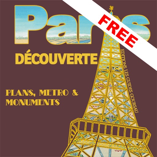
Discover Paris - maps, metro & monuments - free version
Jerome Goursau
Discover Paris with a 3D map.
The app presents a hand-drawn 3D map of Paris, showing major sites and attractions. It provides details for attractions and includes a metro map to aid navigation.


CacheToolBox
Thomas Niederberger
Geocaching and hiking tool with conversions.
The app offers coordinate conversions for Swissgrid and WGS84 formats. It displays typed or current coordinates on a map and includes tools like ASCII, rotation, and prime number checking.

trip 3in1(compass, map, altimeter)
友杰 邱
Compass, map, and altimeter tool.
The app provides a compass for direction, a map for location and navigation, and an altimeter for measuring height above sea level. It also offers a sharing feature to send current positions with pictures and text to contacts.


How we rank alternatives
Apps are ranked by functional similarity, category fit, rating confidence, and popularity.