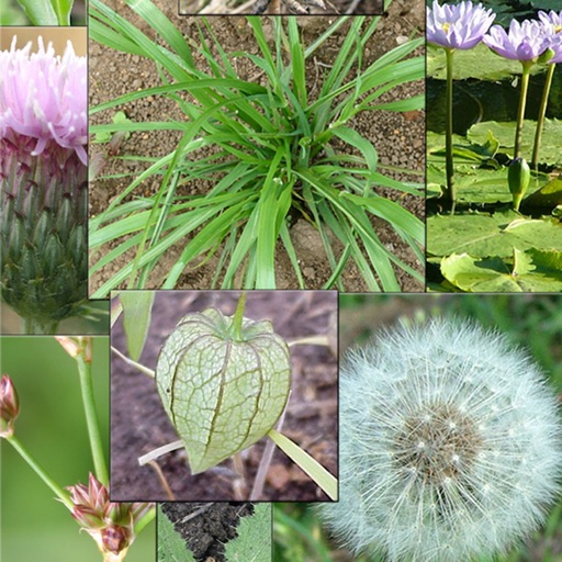
Identify by selecting color, size, and shape. View photos of plants with descriptions. Learn about common and rare species found in the park. Save and share identification results.
by Tony Valois★ 5.01 ratingsReferenceFreeData updated 2026-09-09
The app allows users to map plants and animals with GPS coordinate logging. Users can store additional attributes, define custom forms, and import or export data in various formats.
The app measures and analyzes geological structures using a geological compass and stereographic projection. It offers instability analysis and wireless data sharing capabilities, generating reports with stereonet images.