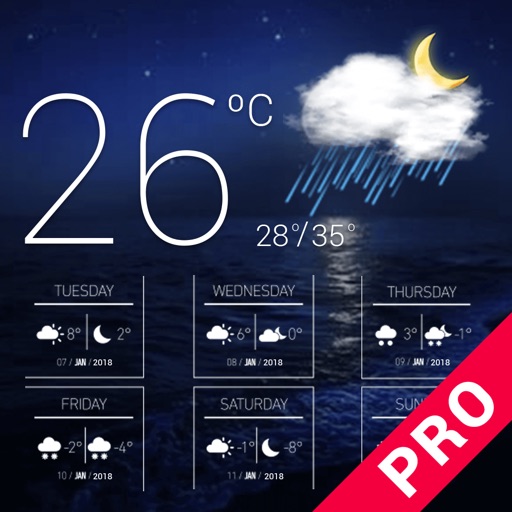
Check current and forecasted for any city or country. View temperature, precipitation, humidity, and wind direction. Update in real time. Track daily, tomorrow, and 5-day forecasts.
Display recent natural hazard data such as active fires, earthquake alerts, and air pollution. Overlay this data on satellite imagery and maps. Identify locations of major dams and nuclear power plants.
Reference provides access to hazardous materials safety information for first responders. Users can query railcar contents using equipment numbers. Authorized personnel only can access restricted features.
Make priority GETS and WPS calls with one-touch access. Quickly dial emergency numbers without manual entry. Display call status and confirm connection.