Allows field tech workers to view and interact with GIS maps offline or online. Users can access custom forms for data collection, view dynamic labels and layers, and navigate maps with touch controls.
by Maptext, Inc.★ 5.03 ratingsProductivityFreeData updated 2026-09-09
Capture GNSS data measurements using compatible third-party hardware on iPhone or iPad. Switch between utility line types, record geographic locational data, and log attribute information such as line details and maintenance history.
Find local sports fields in Loudoun County, VA. Search over 440 fields to locate available ones. Mark preferred fields as favorites. Get directions to any directly from the . Check conditions and availability in real time.
View GPS device locations on a map and check real-time status updates. Access recent routes and generate custom reports. Monitor fleet activity and asset locations. Sync with TrackerSystems.net NimbleGPS for data.
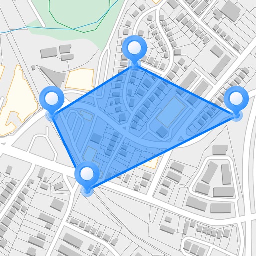
Measure areas and distances on maps by placing points and calculating the total or route length. Save and share specific locations as points of interest. Calculate GPS areas with high accuracy.
Track vehicle locations and activities in real time. View fuel usage and maintenance alerts. Dispatch jobs and send messages to drivers. Generate reports and monitor driver behavior. Sync with OnlineAVL2 for comprehensive fleet management.
The app allows users to digitize manual forms for enterprise and industrial field processes. It enables data capture, photo and sketch additions, signature collection, and barcode scanning on mobile devices, generating PDF reports.