Monitor earthquakes with real-time updates and GPS compass maps. Display professional data including altitude, orientation, air pressure, and coordinates. View environmental metrics like humidity and temperature.
Navigation provides flight planning and in-flight calculations. Users can customize quick access buttons, configure units, and manage blocks and airtime.
Control the PHANTOM 2 drone via mobile device. Adjust camera settings, manage flight paths, and monitor battery life. View real-time video feed and trigger automated shots. Access flight data and system diagnostics.
Access a database of airports, airlines, spacecraft, and related entities with instant search and country flags. View manufacturer and airline tail logos.
Tracks location, speed, altitude, heading, acceleration, g-force, and atmospheric pressure. Retrieves and displays current weather data. Records tracks up to 10 minutes or 10 kilometers. Plays back tracks at multiple speeds.
Explore a large open world and fly 6 unique helicopters to complete mission objectives and progress through 20 levels. Choose from special helicopters like search and rescue and United Nations models.
The app provides real-time Sun and Moon data, including sunrise, sunset, moonrise, and moonset times globally. It features a time-chart and interactive map for accessing celestial data and exploring seasonal shifts.
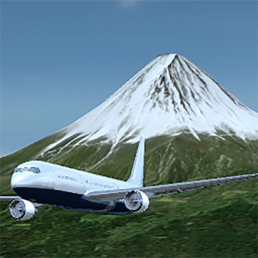
Fly in highly detailed 3D planes with realistic physics and animations. Explore realistic airports with accurate layouts and moving components. Navigate global routes between major airports. Customize aircraft interiors and manage parameters.
Fly aircraft through terrain and surrounding areas in various weather conditions. Choose from small planes, military jets, and large airliners. Navigate day, dusk, night, and storm environments.