

Apps Like Map Flight Simulator for iPhone and iPad
Ranked alternatives
Showing 321–340 of 1,000 ranked alternatives.


Speedometer GPS - Altitude
Rounded Peak Studios LLC
Track , altitude, and distance
View current in mph, km/h, knots, and other units. Display altitude above sea level. Track max and altitude during trips. Monitor distance traveled in trips. Check on Apple Watch. Pro upgrade unlocks custom colors, HUD mode, and ad removal.

LAANC Drone Airspace Approval
Aeroapps Technology, LLC
Check status and request authorization
Check status for controlled, restricted, or prohibited areas. Request authorization to fly in controlled through . View current weather conditions for flight planning.

AgPilotX
Insero LLC
Set patterns, track progress, log data
Set guidance patterns and view them via LEDs on the lightbar. Monitor flow rates in real time. Log data and access aerial imagery with background maps. Connect to iPad via Wi-Fi and BLE for control and data logging.
Ergo360 Fuel & O-2 Solutions
Aeronautical Data Systems Inc.
Calculate and oxygen use
Calculate and oxygen consumption based on altitude. Display ranges as colored rings on an interactive map. Adjust altitude to see updated range projections. Show overlapping airports with sufficient resources for safe landing.


F18 Carrier Landing
RORTOS SRL
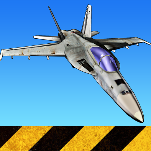
Experience realistic carrier landings and flights.
The app offers a flight simulator with worldwide navigation and over 500 airports. It includes a day/night cycle, weather conditions, and air space cartography.






Airport Manager - Fun Game
Xi'an Qi Guo Network Technology Co., Ltd.
Manage aircraft, crew, and operations
Manage operations by scanning passengers and luggage with X-Ray, checking visas, and inspecting aircraft in the hangar. Simulate flying planes, manage crew, and maintain facilities to ensure smooth operations.


How we rank alternatives
Apps are ranked by functional similarity, category fit, rating confidence, and popularity.