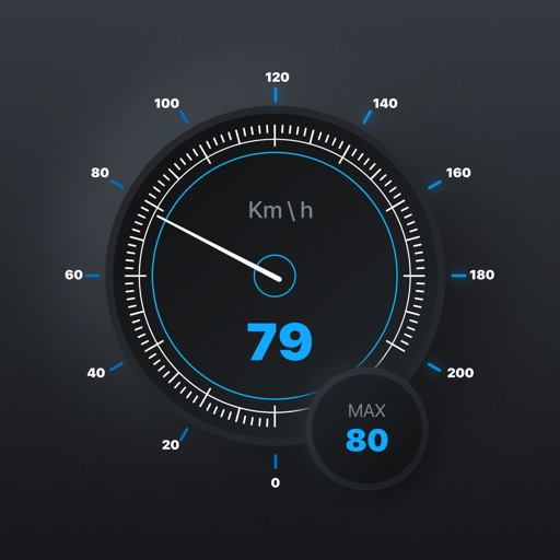
Track speed and total miles during trips. Monitor max and average speed. Save trip history and export as a spreadsheet. Switch between miles and kilometers. Continue counting miles and time in background while using other apps.
Records position, distance, and duration during use. It tracks movement and geotags external photos. Users can review tracks on a map, view speed and distance, and export data as GPX files for other software.
Locate nearby docking stations with distance and direction. View available and docks at each station. Use full-map mode to check docks at destinations. Set a ride timer to track rental duration and avoid late fees.
Navigate subways in Seoul, Busan, Daegu, Gwangju, and Daejeon with real-time maps. View landmarks for easier orientation. Access schedules, transfers, and station details. Plan routes and receive updates on delays or closures.