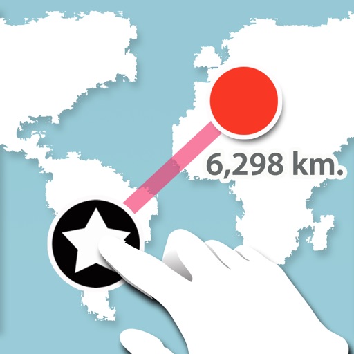
The app computes distance and bearing using Maidenhead location. It is intended for amateur radio operators to determine distance and bearing to another radio amateur.
The app allows users to connect points on a graph and move them to find isomorphic graphs. Users can add or delete points and lines, and rearrange points to view the graph in different ways.
Access real-time trail data for the 2025- winter season. View detailed trail maps, navigate trails with or without mobile data, and receive trail conditions and closures. Set waypoints and track progress along routes.
LogGPS records GPS data including coordinates, altitude, speed, and accuracy when the save button is pressed. Users can add notes, edit or clear them between saves. Data is stored with timestamps and can be reviewed later.