

Apps Like NPP Near for iPhone and iPad
NPP Near screenshots
Ranked alternatives
Showing 141–160 of 1,000 ranked alternatives.

Anchor Alarm with Late Set
B2N LTD
Set , track GPS status
Receive instant alerts when drag occurs or GPS signal weakens. Manually adjust position on the map or input coordinates from another device. Set alarms if forgotten after dropping .

Land Distance Area Calculator
Nalin Savaliya
Measure and on maps
Calculate distances and areas using GPS coordinates. Place markers on a map to measure distances between points or total of a route. Delete markers by tapping them. Export results for further use.


Oregon Roads Traffic
Coderun Technologies Ltd
View live and save favorite cameras
View real-time conditions and camera feeds across . Access live data from ODOT, including 750+ cameras. Save favorite cameras for quick access. Use the today screen widget to see nearby incidents. Enable dark mode for iOS13+ devices.

SpeedoMeter GPS - Odometer
G Sanghani
Track speed, distance, and trip time
Tracks current, maximum, and average speed using GPS. Displays speed in analog and digital formats with colorful LED. Records distance traveled and trip time. Functions as a trip meter and for vehicles, walking, running, biking, and boating.


Find Near Me - Nearby & Around
XLabz Technologies Pvt. Ltd.
Find places nearby and around.
The app helps users find nearby places like ATMs, gas stations, and restaurants using the iPhone's GPS. Users can customize searches and see the distance to points of interest.

Formula MAX
Mallow Technologies Private Limited
Explore formulas, search, and study
Access formulas for Physics, Chemistry, and Maths including Algebra, Analytical geometry, and Differential equations. Search and locate formulas quickly. Sync across iOS devices with device-specific UI. Update content regularly with new formulas.

Speedometer GPS Speed Tracker
Ryan Schefske
Track and location in real time
Track with GPS accuracy for driving, cycling, skiing, running, and boating. View real-time data and historical logs. Set limits and receive alerts. Export trip data and share records. Sync with fitness apps for activity tracking.

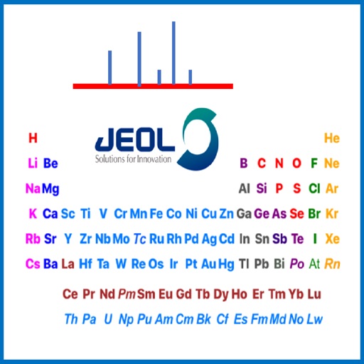
JEOL USA Periodic Table
JEOL USA Inc
View tables for MS, EDS, NMR
Reference allows users to select between mass spectrometry, energy-dispersive x-ray spectroscopy, or nuclear magnetic resonance spectroscopy tables. Clicking on elements shows method-specific information about stable isotopes.

miio
MUVEXT, LDA
Charge vehicle, track price, join community
Charge electric vehicles at stations in Portugal, France, and Spain. View real-time power levels, plug types, and venue details. Track expenses before, during, and after charging. Locate and select charging stations with interactive maps.

Map Marker: places organizer
Sebastien BIERO
Set markers offline with details
Create and manage markers with custom titles, descriptions, dates, colors, icons, and images. Move markers freely on the map. Organize them into folders. Search and browse markers via a text-searchable list.

NYSSA Snowmobile Trails
Mapgears Inc.
Track trips and list equipment for snowmobiling
Track trips with breadcrumb navigation, speed, and distance statistics. Log equipment details and track mileage per vehicle. Access satellite view for enhanced map navigation and location tools.

Minnesota Wildflowers Info.
MN Flora Group LLC
Identify plants and view images
Access plant profiles offline with detailed descriptions and over 16,000 images. View species information on 114 aquatics, 76 ferns, 1134 forbs, 154 grasses, 24 rushes, 207 sedges, 169 shrubs, and 98 trees.
How we rank alternatives
Apps are ranked by functional similarity, category fit, rating confidence, and popularity.