

Apps Like Map It Vilas County for iPhone and iPad
Find trails, view maps, filter by activity
View interactive maps of trails. Search and filter by activity, length, location, and amenities. Plan routes for snowmobiling, ATVing, biking, hiking, and cross-country skiing. Access trail details and navigation features.
Map It Vilas County screenshots
Ranked alternatives
Showing 621–640 of 1,000 ranked alternatives.


GRENА PARK
AZIMUTE MIMOSO, UNIPESSOAL, LDA
Explore wildlife and nature trails
Explore wildlife in natural habitats with guided hiking and car tours. Observe animals in their environment. Access information about species and features through interactive maps and educational content.


Explore Nash County
Nash County Travel & Tourism
Plan trips, add events, share itineraries
Plan trips by searching for locations based on preferences. View local events and add them to a personalized itinerary. Share trip details with others. Create and manage custom travel plans.


Camping Carolinas
Armstrong Software, LLC.
Explore campground profiles and amenities
Browse campground profiles with details on amenities, location, and nearby attractions. Access maps and park websites to plan stays. Search for mountain or coastal retreats and find essential information for your trip.
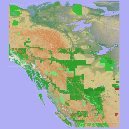
Scenic Map Western Canada
Mark Granger
3D topo map of Western Canada
The app provides a 3D topographical map of Western Canada. Map data downloads to the device for use without an internet connection, allowing users to view terrain features as small as ten meters.


How we rank alternatives
Apps are ranked by functional similarity, category fit, rating confidence, and popularity.