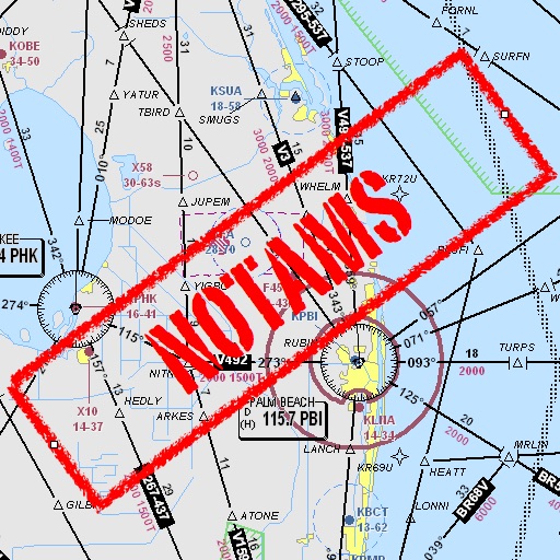
Assists pilots with interpreting NOTAMs, METARs, TAFs, and Area Forecasts. It decodes acronyms and contractions for both inflight and ground use. Users can search for details and weather reports.
The app offers multimedia circuits for exploring the territory and its heritage. GPS automatically triggers content like audio, quizzes, and videos along chosen routes for cycling or driving.
Calculate fuel consumption, airspeed, and time using the E6B . Solve problems repeatedly to improve skills. Track wind speed and direction. Convert units and perform calculations for planning.
Navigate to Villefranche-sur-Saône hospital for appointments, admissions, or visits. Provides GPS directions from home. On-site, uses phone as a smart compass for advanced guidance or a dashboard for assisted navigation.