Track boat trips and navigate to destinations in North America. View real-time locations of friends. Access local knowledge from other boaters. Set and follow routes. Share trip details with others. Receive updates and alerts.
View real-time animated images for rain, snow, and mixed precipitation. Access 24-hour precipitation forecasts and cloud coverage maps. Check snow depth and coverage. Search and save locations. Choose background maps.
Play pranks with sound effects and loud noises. Select from human like , cough, and sneeze, or funny pranks like razor, stun gun, and chainsaw. Update continuously. Share directly.
Track real-time wind, wave, and conditions for maritime activities. View forecasts for sailing, fishing, surfing, and kiteboarding. Set alerts for changing conditions and receive safety updates for offshore travel.
Manage drone flights with FAA-approved B4UFLY and LAANC services. Request airspace authorizations, check flight permissions, and plan safe operations. View real-time flight data and receive alerts for restricted areas.
View real-time images and forecasts for precise local updates. Track storms and hurricanes with alerts. Access detailed humidity data and multiple perspectives. Share images directly.
Customize Apple with over 1,000,000 options including holiday themes, fitness tracking, and health complications. Add for weather, blood glucose, and blood pressure. Edit with AI-generated designs and Rolex-inspired dials.
Provide current data based on GPS or IP location. Select any city globally for forecasts. Display hourly data for 72 hours and daily forecasts up to 15 days. Offer Fahrenheit or Celsius temperature options. Show comfort level indicators.
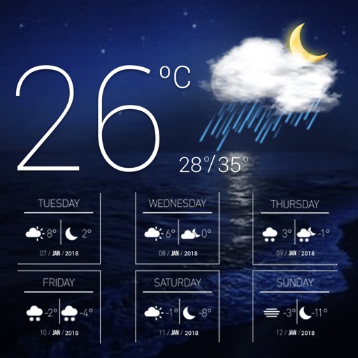
Display current and temperature using GPS or WiFi location. Show real-time updates with day and night cycle visuals. Track conditions and forecasts for your location.
Inspect homes and buildings for hail or wind damage using real-time imaging. Capture and annotate photos. Generate reports and share findings directly. Track inspection progress and manage multiple projects.
Calculate by entering speed and air temperature. Support units for air temperature including °C, °F, and Kelvin, and speed in mph, km/h, m/s, and knots. Include a temperature converter for unit conversion.
View radar data and severe weather products for real-time storm tracking. Analyze single-site radar images and detect mesocyclones. Save and share observations. Access additional features with optional subscriptions.
Calculate ballistic trajectories with detailed data including 4000 cartridges and 3300 reticles. Visualize trajectories, compare different cartridges, and adjust for barometric pressure, altitude, temperature, and wind.