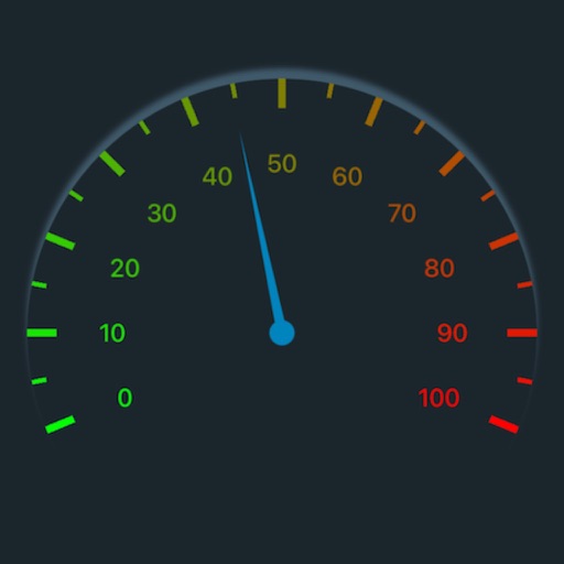
Track with high-precision GPS. Record trips and display real-time data on a head-up display. Receive speeding alerts. Navigate with integrated map support. distance, time, and elevation. Share trip data.
Navigate slopes with 3D trail maps styled for winter. Track live friend locations and view public/private leaderboards. Log detailed stats, check lift wait times, and access offline maps. Sync with wearable devices for real-time performance data.
Allows users to browse , search locations, save favorites, and use turn-by-turn . Premium subscription enables traffic-aware routing, activity recording, offline , and elevation map views for terrain clarity.
Track symptoms, medications, and potential triggers to identify headache causes. Record pain levels in chronic mode. Log episodes, set reminders, and view detailed reports to manage headache patterns effectively.
Measure levels in real time to track exposure. Alert users when sound exceeds safe limits. Provide guidance on protective measures like ear plugs and headphones. Log daily exposure and offer tips for hearing protection.
Displays current location using GPS on a high-resolution topo map. Includes an index to over 1,000 locations in Utah’s Central mountains. Allows users to navigate trails, view elevation data, and access detailed route information.
Download for national parks and USGS topographic regions for offline use. Access 150 NPS park and 60,000+ topographic . Use GPS navigation without internet connectivity. Save for later use in areas with no data service.
Access boating information with detailed charts, graphs, and illustrations. Look up formulas, safety guidelines, and equipment specifications. Search for content by topic or use the table of contents. View 800+ images and diagrams for visual .
Track and headache episodes with detailed logging. Record symptoms, duration, and triggers. Monitor barometric changes and analyze patterns to identify correlations. Set reminders and receive forecasts to anticipate potential flare-ups.
Track location, speed, and altitude with real-time GPS data. Use a digital compass for direction. Access weather information and tag locations. Share coordinates and view maps.
Track speed in using units like meters per second, miles per hour, and kilometers per hour. Display speed in English or Spanish. Allow users to request additional language support.
Navigate off-road trails and remote areas with maps and turn-by-turn directions. Mark waypoints, track routes, and view elevation data. Access terrain details and compass navigation without internet connectivity.
Monitor and altitude using the device's internal sensor. Track changes to predict weather patterns. Provides altimeter readings for elevation awareness.
Tracks location, speed, altitude, heading, acceleration, g-force, and atmospheric pressure. Retrieves and displays current weather data. Records tracks up to 10 minutes or 10 kilometers. Plays back tracks at multiple speeds.
Access guided meditations and music tracks to reduce stress and improve sleep. Set daily reminders, track progress, and customize sessions. Explore 300+ meditation options for different durations and focuses.