Apps Like Bucephalas Ephemeral for iPhone and iPad
Record journeys and track elevation gain.
The app records a user's journey and displays unknotted locations on a map. It offers features like a slope meter, elevation tracking, and voice navigation.
by Junichiro Seyama★ 0.00 ratingsNavigation$0.99Data updated 2026-11-02
The app allows users to book train tickets by selecting travel details, dates, and passenger types. Customers can also search station departure times and plan their rail journeys.
Plan journeys with customizable daily itineraries and track progress using elevation charts. Find meals and book accommodations along the path. Access live weather updates and a detailed walking guide.
Pay for parking using a mobile device without coins or meters. Start and stop parking sessions to pay only for actual parked time. Set pay-per-time durations and receive alerts for remaining time.
Customize dashboards with configurable gauges like speedometer, odometer, GPS altimeter, barometric altimeter, accelerometer, artificial horizon, compass, and elapsed time. Swipe to switch views and access real-time sensor data from iPhone or iPad.
Ascents with route planning and summit recording. Log trips with detailed stats and navigation. Create specialized training plans. Debrief journeys with performance analytics. Set safety alerts and monitor progress in real time.
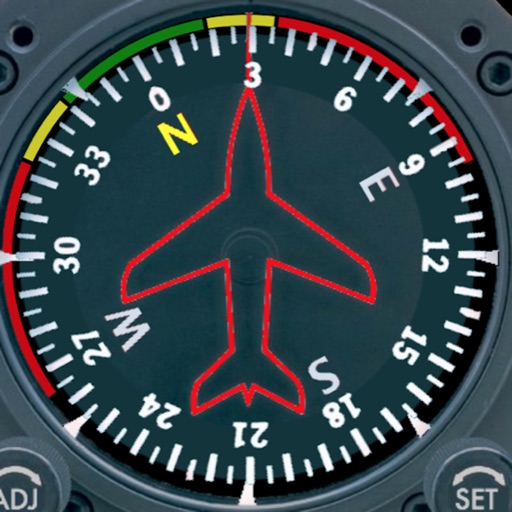
Displays a photorealistic -style indicator with both analog and digital readouts. Users can toggle rotation lock, simulate the instrument indoors, and view improved graphics. Supports latest iOS versions and includes bug fixes.
The app offers thousands of real-life videos for indoor training, adjusting resistance or incline. It also provides structured workouts, coaching content, and social features for users.
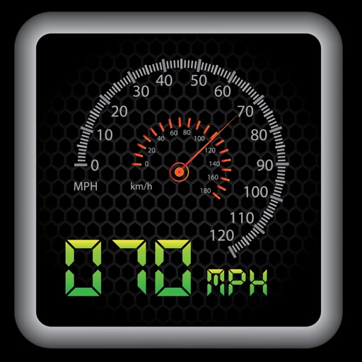
The app provides a heads-up display for a car, offering GPS-based speed information with MPH and KPH options. It includes digital and standard font modes, 12 and 24-hour clock options, and portrait and landscape orientations.
Navigate outdoors with a compass, digital level, and elevation tracking. Access real-time weather data and 3-day forecasts. View location coordinates and use emergency for safety.
Track elevation and climb rate in real-time. Calibrate altitude settings and check GPS accuracy. Send location links via SMS for easy sharing and navigation assistance. View maps in web browsers for location tracking.