Record photos and videos with real-time data overlays. Use augmented reality for navigation. Access proven navigation and image processing technologies. Capture geospatial data during recordings. Share media with embedded location and time stamps.
by Craig Hunter★ 4.034 ratingsNavigation$3.99Data updated 2026-11-08
Create flyers, posters, logos, and social media graphics with customizable fonts, filters, shapes, and artwork. Add text, adjust colors, and export designs for print or online use.
Track flight altitude, speed, and heading in real time. Monitor waypoint progress and adjust flight path remotely. Control simulated flights via plugin integration. View navigation data wirelessly from a mobile device.
Capture photos and overlay custom titles, MGRS grid, coordinates, UTC/local time, and altitude. Choose which data to include. Save images or share them via text.
Converts position coordinates for navigation support.
The app converts position coordinates and provides distance and orientation to a target. It uses the UTM/MGRS position indication system, which is employed by the U.S.
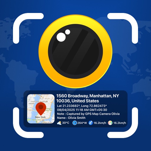
Photos and videos with real-time location, date, time, latitude, longitude, altitude, and weather data. Capture timestamps during拍摄. View map-based location pins for each media file. Export geotagged files with embedded metadata.
The app provides navigation for outdoor activities, allowing users to view their location in UTM or Lat/Lon. It supports recording and returning to waypoints, track logs, and exporting data to KML, GPX, or CSV files.
Measure direction and elevation with a digital compass and inclinometer. Access real-time GPS and map data. Navigate using location-based routes. Share coordinates and track movement history.
Track routes using GPS navigation, pause and resume routes, and view route statistics. Log finds with details like name, category, and location. Take photos of finds. Toggle between satellite, hybrid, and standard maps.
Add date and time overlays to photos with customizable size, position, format, font, and color. Edit overlays to suit personal style. Save and share edited images directly.
Edit images with blending effects and premade templates. Crop, rotate, and adjust . Access advanced controls for detailed editing. Save and share edited images directly.
The app calculates distances, areas, and circumferences using algorithms that account for the Earth's curvature. It also converts position coordinates between different coordinate systems and supports various geodetic datums and projection methods.
Overlay cellular carrier coverage maps to compare signal strength across the USA and Canada. Search for coverage in specific areas, save maps for future reference, and plan trips based on signal availability.
Displays current location with address, latitude, longitude, altitude, and time. Includes AR navigation and satellite map views. Share location data. Choose from 4 theme colors. Automatically updates location and unlocks screen.