View marine with satellite and terrain overlays. Access local weather forecasts. Use NOAA raster for navigation. Track position and route. Share maps and waypoints. Work offline without mobile coverage.
Locate utilities and record positions with pinpoint
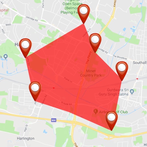
Locate underground and above-ground utilities with pinpoint mapping. Record and manage data points for infrastructure. Export data or relocate previous map entries. Answer location-based questions about services or damages.
View topographic maps of New Zealand's offline. Locate current position via GPS. Search for place names. Includes all map data from LINZ 1:50000 scale Topo50 series.