Displays current geographic position with latitude, longitude, altitude, speed, and units in metric or imperial. Save and store multiple locations. Show distance to saved locations. Send current or saved location via message or email.
by Michael Meyers★ 5.04 ratingsTravelFreeData updated 2026-09-09
Navigation provides access to aeronautical charts including VFR Sectionals, IFR Enroute Low and High, TACs, Flyway, and IAPs. Users can view synthetic vision and fuel prices. Subscription includes advanced IFR data and APDs. Free trial available.
Display current weather with Celsius, Fahrenheit, and Kelvin options. Switch between units with a single tap or swipe. Show temperature, precipitation, and wind details. Include location-based forecasts and unit conversion explanations.
Explore movie and TV show filming locations worldwide. Search for specific locations, view detailed descriptions, and discover how scenes were shot. Plan trips based on film locations and learn about the geography of popular movies.
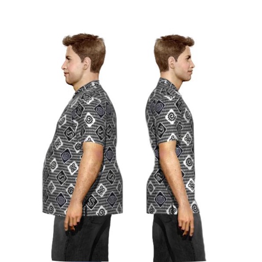
Create a virtual avatar to track weight changes and visualize future goals. Input height, weight, and body shape details. Choose hairstyles, facial features, and outfits. Sync with Health and switch between metric and imperial units.
The app allows users to focus on training with a customizable timer. It supports location tracking and heart rate monitoring with Bluetooth LE devices.
Track and record routes for hiking, biking, excursions, and sports activities. View locations on maps, analyze with diagrams and stats. Manually or automatically log trips. Retrieve detailed activity data for later review.
Save GPS positions to locate parked cars. Take photos of the car's location and add text annotations like floor number or row. Drag the 'parked here' marker for precise placement.
View historical photos of New York City from the New York Public Library's Digital Collections. Explore over 2,500 locations in Manhattan, Brooklyn, Queens, and The Bronx. Compare past images with current Google Street View views of the same spots.
Save car locations using GPS without maps. cars with a pointer without maps. Set map rotation for better orientation. Enable location history for past saves. Access advanced settings for customization.
Tracks daily intake with support for Imperial and Metric units. Sets personalized hydration goals based on user data. Sends daily reminders and pauses notifications during sleep. Logs statistics for progress tracking.
The app helps users find nearby places like ATMs, gas stations, and restaurants using the iPhone's GPS. Users can customize searches and see the distance to points of interest.
Users can register via email, Facebook, Apple, or Instagram. They can mark current or recent locations on Google Maps as hammock spots. Other users can view these marked locations.
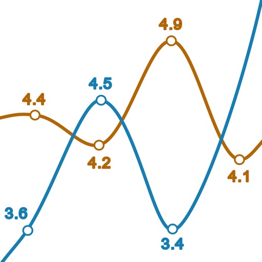
Log glucose and ketone levels with entry screens supporting mg/dL and mmol/L units. Import CSV files from KetoMojo meter. View line graphs comparing glucose and ketone readings. Navigate between date ranges for progress tracking.
Download for national parks and USGS topographic regions for offline use. Access 150 NPS park and 60,000+ topographic . Use GPS navigation without internet connectivity. Save for later use in areas with no data service.