
Raajje Cab
Hassan Raheem
Book rides and track your driver
Book rides with instant or scheduled booking options. Track driver location and estimated arrival time via live GPS. Request safe and professional drivers for trips within the Maldives.

Calculate distance and heading along great circle.
The app calculates distance and heading along the great circle between two positions. It uses GPS for the start position or allows own input, and provides GPS speed and course.
Showing 741–760 of 1,000 ranked alternatives.
Hassan Raheem
Book rides and track your driver
Book rides with instant or scheduled booking options. Track driver location and estimated arrival time via live GPS. Request safe and professional drivers for trips within the Maldives.




OFFLINE MAP TRIP GUIDE LTD
Navigate and save roaming costs
Provides maps for navigation without internet or roaming costs. Zoom on detailed vector maps with continuous updates. Locate points of interest and plan routes. Save data usage by avoiding mobile networks.

SwizzBits s.r.o.
Discover people nearby, share location.
The app allows users to discover new people in their vicinity and communicate privately. It offers location sharing and offline navigation features using GPS.


Iurii Dursin
Track location and monitor transport data
Track vehicle location in real time using GPS. View speed, direction, and route. Receive alerts for unauthorized movement. Log trip data and generate reports. Share location with contacts.

Flytomap
Worldwide marine and outdoor maps.
The app provides worldwide marine and outdoor maps, satellite imagery, and terrain overlays. It offers local marine weather forecasts, tide data, and wind information, functioning without mobile coverage.


Onyx Technologie OG
Outdoor and Hiking Navigation ape@map
The app provides offline GPS navigation for outdoor activities. It includes over 70,000 tours for hiking, biking, and skiing, with details like reviews, elevation models, text, and images.
Sunbird Images OHG
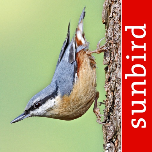
Identify birds of the British Isles.
The app identifies birds of the British Isles with images and songs. It records user sightings with GPS position and photos, offering anatomical, ecological, and taxonomic information for 253 species.

Junichiro Seyama
Record journeys and track elevation gain.
The app records a user's journey and displays unknotted locations on a map. It offers features like a slope meter, elevation tracking, and voice navigation.


Web-C Tech.Co.,LTD.
Rally computer for car racing support.
The app acquires vehicle information via GPS or Bluetooth from REBLE49.PRO. It functions as a rally computer, supporting competition with features from DX500RALLY.PRO.


Mapping Industries AB
Play with real-time stats and live tracking
Track real-time scores and course statistics with automatic calculations. View 3D course graphics and flyover maps. Share live round updates with friends. Set GPS waypoints and monitor progress. Receive in-game guidance and performance analytics.


Flytomap
Explore marine and outdoor maps.
The app provides worldwide marine and outdoor maps, satellite imagery, and terrain overlays. It offers local marine weather forecasts, route planning with unlimited waypoints, and track recording without needing a cellular signal.
Apps are ranked by functional similarity, category fit, rating confidence, and popularity.