View real-time radar and satellite maps to track storms and clear skies. Receive rain alerts and access hourly forecasts. Get local updates using location services. Display on home screen with a widget.
Access agent-only listing details and search by schools or drive time. Share a branded with clients. Chat with clients and agents. Use TouchID for login. Calculate mortgage payments. Draw and spot tools for property viewing.
Plan outdoor activities by accessing HD topographic maps and reports. Navigate with GPS tracking and toggle map layers to view hazards. Scout new trails for hiking, skiing, mountain biking, or climbing. Save and share route data offline.
Identify , , and constellations by pointing the phone skyward. View real-time sky maps with overlays. Learn about celestial objects and satellites. Set location for accurate sky display. Save favorite constellations and .
Track routes, find waypoints, and navigate offline
Navigate outdoors with offline GPS maps and real-time augmented reality. Track waypoints and custom locations. Use a gyrocompass, speedometer, altimeter, and inclinometer. Find celestial bodies and measure angles.
3D helps align dishes for better signal reception. Users select a from a list, enable AR mode, and choose dish type. The displays a 3D model showing dish orientation and signal path.
Measure altitude with accurate display. Track location without data collection or sharing. Customize background colors. Avoid obstructions for better GPS accuracy. No ads included.
Display current location using GPS, GALILEO, and GLONASS. View position on various map layers. Import and export KML files. Navigate with coordinate systems. Track movement during outdoor activities.
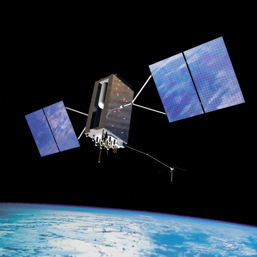
Track satellites in real time with world map and overhead sky views. Identify satellites and the International Space Station with orbit . Determine dish orientation for geostationary satellites using GPS. View passes for any location.
Track satellite passes using augmented reality. View the International Space Station, Starlink Trains, and other satellites in real time. Overlay positions on the night sky via iPhone or iPad camera.
View and navigate USGS and satellite imagery. Download for offline use. Track hiking routes and save locations. Access detailed terrain and elevation data.
Measure acceleration, orientation, and motion with built-in sensors. Record and analyze real-time data for experiments. Detect and generate sound tones. Visualize audio waveforms. Export measurements and graphs for scientific use.
Predict satellite and ISS sightings with second-level accuracy. Track Starlink satellite trains. Set reminders for upcoming events. Show compass direction and elevation for precise viewing. Countdown to sightings second by second.
Navigation allows users to view direction aligned with satellite imagery or maps. Displays street address, GPS coordinates, elevation, and What3Words codes. Taps switch between satellite and map views. Pinch or spread to zoom.