
Apps Like MapPoint for iPhone and iPad
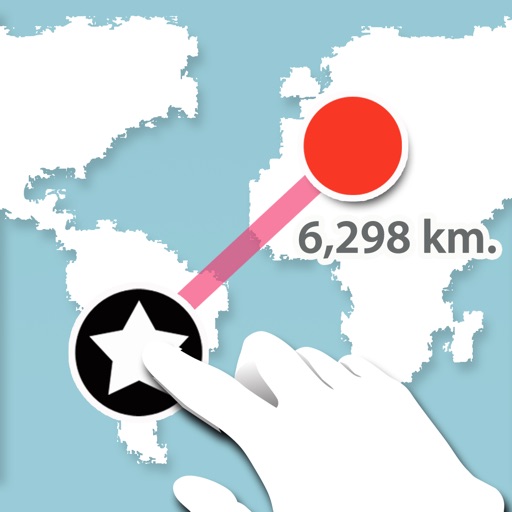
Measure distance between two points.
The app measures the distance between two points on a map. Users press and hold the screen to create points and view a distance summary.
MapPoint screenshots
Ranked alternatives
Showing 661–680 of 1,000 ranked alternatives.
WGS84
HUNG HSUN LIN
Measure WGS84 coordinates and export data.
The app measures WGS84 coordinates in decimal degrees and degrees-minutes-seconds. Measure data can be exported as a CSV file and users can add photos, videos, and voice records.

Repromap
Inside Outside Studios Inc.
Find map layers and track your location
Access real-time location data and choose from over 70 map layers for detailed boundary and land ownership info. View satellite, topographic, hybrid, and road maps. Set permissions and contact details for areas you visit.


MedalMiles
NISCHAL NIROULA
Track runs, log details, and collect medals
Log running sessions with distance, time, pace, and event details. Capture medals with AI background removal. View medals in 3D with rotation and zoom. Share achievements using card templates. Track stats and personal s.


Find Qibla Plus - Dhikrmatic
Zekiye Aslantas
, track directions, locate mosques and pharmacies
Determine direction using a compass. nearby mosques and pharmacies. Get directions to locations. Calculate distance to Kaaba. Use dhikrimatic feature for prayers.

Shelter Share App
Green Country Media LLC
Find shelters and track your location
Find nearby shelters using location or search by city or ZIP code. View accurate details like address, hours, distance, and contact information. Receive real-time updates on availability and conditions.

T_Budai-hg.
Arpad Bedo
Budai-hegység tourist map in three languages.
The app provides a three-language tourist map of Budai-hegység, usable in Hungarian, English, and German. It includes detailed maps of Iharos, Anna-rét, and Kamaraerdő, with zoom, swipe, compass, and distance estimation features.


HogeNood - find toilets
HogeNood B.V.
Find nearest toilet quickly and easily.
The app provides a database of toilets in the Netherlands and Belgium. It displays distance, accessibility, business hours, fees, and user reviews for each toilet.


!Run For Life: GPS run tracker for Jogging.
Evgeny EGOROV
Track runs, analyze performance, set goals.
The app tracks runs using GPS and offers performance analytics including pace, distance, and calories. Users can set goals, track personal records, and engage in ghost runs against past performances.

Toward
Shota Utsumi
Navigate and track your destination
Navigate to a destination by setting it via map or coordinates. View distance and direction from your current location. Works in airplane mode. Displays large, clear UI for easy reading on water or with device cases. No ads.

Kyiv Metro Guide and Route Planner
Discover Ukraine LLC
Navigate Kyiv using the subway.
The app provides a subway map and route planner for navigating Kyiv's subway service. It includes trip cost calculation, station finder with augmented reality, and offline map availability.

Trotro
Trufi Association e.V.
Navigate with route suggestions and search
Navigate door to door with route suggestions for bus, minibus, and car. Search streets, crossings, and points of interest with suggestions. Save favorite locations. View real-time GPS position.

Big Red Arrow: Find Your Way
Ben Collier
Follow the arrow
Navigate using a large red arrow that indicates direction and distance. Follow the arrow to reach destination. No maps or additional features. Orient yourself in unfamiliar environments without visual clutter.

How we rank alternatives
Apps are ranked by functional similarity, category fit, rating confidence, and popularity.