Displays subway departure times sorted by distance and time. Users can swipe left to view service alerts and tap alerts for detailed information. The provides real-time updates without ads or additional features.
The app allows users to search Australian property listings with a focus on energy and eco efficiency. Users can sort properties by orientation, distance, and energy ratings, and rate homes during inspections.
Objects using augmented reality with ARKit. Place the aiming mark at the start point, tap to , and move the phone to capture dimensions. Export measurements and share results.
Plan trips with real-time schedules and route details. Find transfer options, ticket prices, and travel times. Access nearby locations and navigation within the . View site maps and service info. Function without internet connectivity.
The app presents Top 20 Food Experiences in Austin, Texas. It includes local restaurants, desserts, drinks, live music, and events within walking distance.
Records position, distance, and duration during use. It tracks movement and geotags external photos. Users can review tracks on a map, view speed and distance, and export data as GPX files for other software.
The app brings the power of Bunbury Realtors to the iPhone or iPod Touch. Users can quickly find homes throughout Wisconsin, filtering by distance and price range.
Find routes with real-time traffic updates and voice-guided . View 3D aerial and use a digital compass for orientation. Plan trips with AI-generated itineraries and track progress toward destinations.
Save locations by taking photos and adding descriptions. View directions and distance to saved places. Log travel experiences and access navigation features offline.
Track steps, distance, and calories burned daily. Monitor heart rate and sleep statistics. Record exercise details including pace, time, and movement tracks. Sync data from smart devices for accurate activity analysis.
Access vector charts, freshwater maps, and USACE river maps. Create or import routes using GPX/KML. Receive voice prompts for navigation. View tide and current predictions. Rotate charts with text remaining upright.
The app provides aviation navigation for Southern Africa with a GPS moving map and detailed airfields database. It includes airspace information, flight planning, and an E6B calculator for enhanced situational awareness.
Display contacts as map annotations. Annotate multiple contacts at once with a single button click. View address book and map side-by-side on iPad. Highlight contacts by tapping their address or map annotations.
Plan trips by creating, editing, and organizing itineraries with a map-based interface. Add attractions, restaurants, and activities to a day-by-day schedule. View map and list views simultaneously. Automatically optimize routes for efficient .
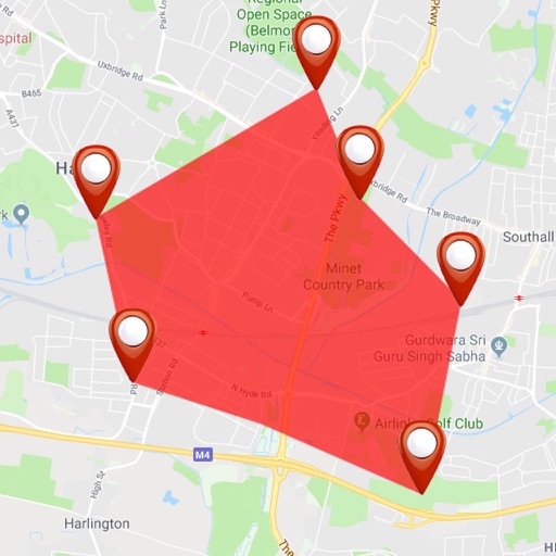
Visualize distances on maps with customizable circles. Set parameters and units. Display areas to check proximity of locations. Track multiple points within defined ranges.
Measure and Variability (HRV) using the phone's camera. Place finger on the lens for instant readings. Analyze stress and energy levels based on HRV data. Track performance anytime without additional devices.