
Qibla Compass Accurate
Takao Ichimura
Find direction and distance
Display the direction and distance to the Kaaba using a interface. Tap the Adhan button to trigger a sound. Adjust device orientation to align the Kaaba indicator for navigation.
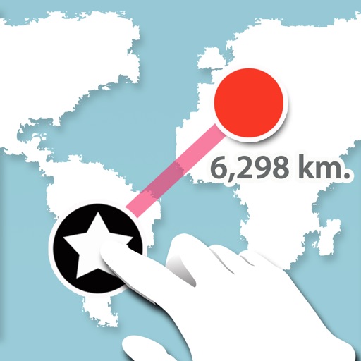
Measure distance between two points.
The app measures the distance between two points on a map. Users press and hold the screen to create points and view a distance summary.
Showing 221–240 of 1,000 ranked alternatives.
Takao Ichimura
Find direction and distance
Display the direction and distance to the Kaaba using a interface. Tap the Adhan button to trigger a sound. Adjust device orientation to align the Kaaba indicator for navigation.

AppSeed, Incorporated.
Track steps, calories, and distance
Track daily steps and distance in kilometers or miles. Calculate calories burned based on weight. Set goals and monitor progress. Automatically count steps without manual input. Sync data across devices for consistent tracking.

Janne Kaki
Zoom in, see more, navigate better
Navigation allows users to view detailed maps with higher resolution and more street names. Display four times more map content on the screen. Includes sharper satellite imagery and points of interest. Adjust map scale for comfort.


Ruslan Kimaev
Track speed, distance, and average speed
Measure speed using GPS with a digital , head-up display projection, and tracking of average speed, distance, and travel time. Log data offline, adjust settings, and access a user-friendly interface for one-handed use.

GV Software Solutions Limited
Share map images with marked radius
Lets users measure distances and areas on maps. They can plot a radius around a point with customizable color and size. Share map images to indicate routes, areas, or radii. Export maps as images for documentation or communication.

Restaurant Services Ltd.
Earn points with every purchase
Track loyalty points earned at participating restaurants. View membership level and progress toward higher tiers. Find nearby locations and redeem based on accumulated points.

Iterum, LLC
Navigate and explore trails
Displays current location using GPS on a high-resolution topo map. Includes an index to over 1,000 locations in Utah’s Central mountains. Allows users to navigate trails, view elevation data, and access detailed route information.

AI POWERED APPS OU
Find towers and view network coverage
View a live map showing 3G, 4G LTE, and 5G towers with details on operator, distance, and type. Locate nearest towers and check network coverage details.
Zipo Apps Ltd.
Track speed, distance, and weather in real
Track speed, distance, elevation, and weather in real time. View travel time estimates. Access a Heads Up Display for quick information. Monitor trip details and receive alerts for speed limits and road conditions.


Denis Tomashevich
Track steps and count calories
Track steps and distance walked in kilometers. Monitor calorie burn based on activity. Set daily goals and view progress. Use a customizable widget for quick access. Sync data across devices. Adjust sensitivity for accurate counting.

AIR APPS SYSTEMS, UNIPESSOAL, LDA
Track , calories, and distance
Tracks daily , calories burned, and walking distance. Displays health data and activity metrics. Offers personalized walking plans to help achieve fitness goals. Syncs with wearable devices for accurate activity monitoring.

HUDWAY LLC.
Track speed, distance, and weather
Display speedometer in digital or HUD mode with compass, odometer, and distance traveled. Show trip information including driving score based on acceleration. Track eco-driving metrics and weather data.


Christoffer Sjoeberg
Track speed, distance, and trips
Log trips with real-time speed, direction, and distance tracking. Store past journeys for review. Export trip data as GPX, KML, or GeoJSON for use in other applications.

Gun Hyung Kim
Repel mosquitoes with one tap
Repels mosquitoes using ultrasonic waves. Activates with a single button press. Offers silent mode at 20kHz. Supports background execution. Allows simultaneous use of other apps. Provides outdoor mode for extended protection.

MiraTrex, Inc
Navigate with real-time GPS tracking
Track location and navigate using GPS. View real-time map movements. Share location with other hunters. Manage hunting areas and group activities. Access downloadable USGS topographical charts. Set and follow navigation points.

Raul Martin Carbonell
Navigate with real-time traffic and speed camera
Provides turn-by-turn GPS navigation with lane guidance and spoken instructions. Detects speed cameras in real time. Tracks route distance, time, speed, and speed cameras encountered. Displays real-time traffic updates and gas price information.

Zirak Srl
Track trails, log routes, and map
Track outdoor activities with real-time GPS mapping, displaying distance, time, elevation gain, and speed. Compare routes with downloaded tracks and view points of interest.
Apps are ranked by functional similarity, category fit, rating confidence, and popularity.