The app provides a digital location service using N-codes derived from GPS coordinates. It can assist with disaster preparedness and improve efficiency in various industries.
by TORU NISHIOKA★ 0.00 ratingsNavigationFreeData updated 2026-10-28
Access locksmith, key programming, and duplication services. Locate nearby providers, track service requests, chat with specialists, and negotiate final prices. Book appointments and manage service history through the .
Provides access to utility, environmental, and geotechnical data through a GIS platform. Users can view multiple data layers on a single map. Analyze site conditions to reduce project risks and improve planning efficiency.
Track car maintenance tasks, log mileage, and manage vehicle care needs. Set reminders for services, record fuel efficiency, and organize service history in one interface.
Track service by manually entering hours or using a stopwatch. Set goals and view progress with statistics. Log and not-at-homes by selecting addresses from an auto-finder or tapping on a map.
Create, assign, and track tasks across service divisions. Attach images for quality assurance and transparency. Generate reports on operational efficiency. Link tasks to specific addresses for accurate data tracking.
Log vehicle maintenance, repairs, and fuel fill-ups with detailed records and photo support. Set service reminders and track fuel efficiency. View progress charts and export data for reference.
The app stores user identities, bank accounts, and product codes in an encrypted database. It synchronizes data across devices using optional iCloud, providing offline access to local data.
Create personalized digital characters by customizing facial features, hairstyles, outfits, and accessories. vatars using AI-powered design tools. Export in various formats and share creations directly.
This replaces text with symbols for space efficiency. Users can input symbols for male, female, and other gender indicators. It includes a game to practice symbol recognition and improve typing accuracy.
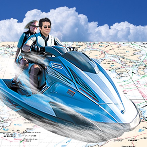
Navigate using GPS to find sea routes and locations. View detailed maps and charts. Mark and save waypoints. Track speed and depth. Share coordinates with others. Sync with other devices for real-time updates.
Verify user identities through real-name and real-person authentication. Issue electronic work credentials and enable one-code access in covered areas. Reduce management costs and improve external personnel efficiency.
Report local issues such as potholes and damaged signs by uploading photos or videos. Select from predefined concerns or submit custom requests. Track report status and community submissions. Access GPS location for accurate pinpointing.
Monitor vehicle location with real time tracking and pinpoint coordinates. Check speed, engine status, and fuel level. View odometer reading and battery voltage. Track air conditioning status and vehicle movement state.
FUNDACIO PRIVADA CENTRE TECNOLOGIC DE LA QUIMICA DE CATALUNYA
Air quality and odour reporting tool.
The app provides air quality information using data from nearby automatic remote stations. Users can report odour episodes, creating a dynamic map of pollution areas for various industries and public administrations.
Manage account registration and check account status. View service details and network coverage. Access customer support and track service usage. Receive updates on account eligibility and program benefits.
Track real-time GPS location of personnel or goods. View historical movement data. Set electronic fences for safety alerts. Receive notifications when location exceeds defined boundaries.
Customers can request service for defective products, register new products, and complete surveys. Submit service requests, update product information, and provide feedback through in- forms.
Monitor vehicle locations in real time using GPS. Send and receive messages between drivers and managers. View fuel usage and maintenance alerts. driver behavior and route efficiency. Generate reports on trip data and vehicle performance.
Report attendance and activities with GPS location
Time tracking allows users to log presence and activities with real-time GPS location reporting. Reports are sent to a remote server and can be viewed on a map.